Debert Airport
| Debert Airport | |||||||||||||||||||
|---|---|---|---|---|---|---|---|---|---|---|---|---|---|---|---|---|---|---|---|
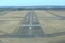 Final approach to runway 16 | |||||||||||||||||||
| IATA: none – ICAO: none – TC LID: CCQ3 | |||||||||||||||||||
| Summary | |||||||||||||||||||
| Airport type | Public | ||||||||||||||||||
| Operator | Municipality of Colchester | ||||||||||||||||||
| Location | Debert, Nova Scotia | ||||||||||||||||||
| Time zone | AST (UTC−04:00) | ||||||||||||||||||
| • Summer (DST) | ADT (UTC−03:00) | ||||||||||||||||||
| Elevation AMSL | 136 ft / 41 m | ||||||||||||||||||
| Coordinates | 45°25′09″N 063°27′41″W / 45.41917°N 63.46139°WCoordinates: 45°25′09″N 063°27′41″W / 45.41917°N 63.46139°W | ||||||||||||||||||
| Map | |||||||||||||||||||
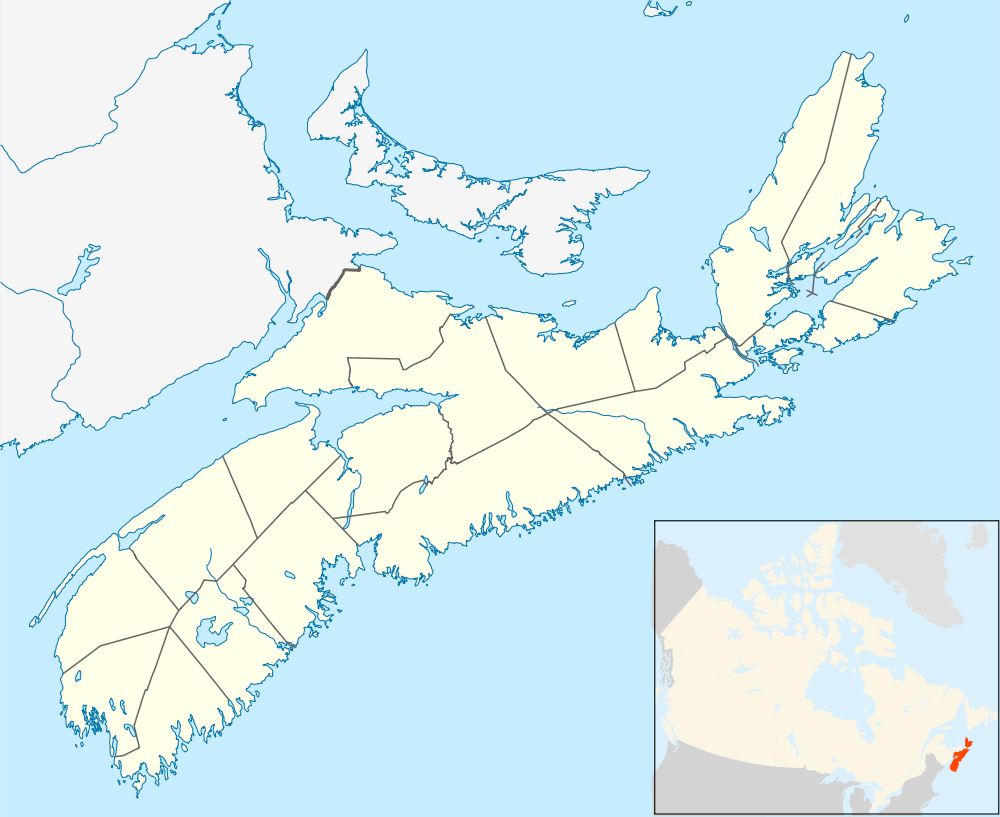 CCQ3 Location in Nova Scotia | |||||||||||||||||||
| Runways | |||||||||||||||||||
| |||||||||||||||||||
|
Source: Canada Flight Supplement[1] | |||||||||||||||||||
Debert Airport (TC LID: CCQ3) is located near Debert, Nova Scotia, Canada and has three runways.
It was established in 1941 as RCAF Station Debert and was used during World War II as a British Commonwealth Air Training Plan facility for training aircrew.[2]
In 1971, the Debert Airport and its surrounding land was purchased by the Government of Nova Scotia for development as the Debert Air Industrial Park, and in 1972, the Truro Flying Club was formed.
Today, the Debert Flight Centre, a division of the original Truro Flying Club, still provides instruction to pilots, from student pilots to commercial students.
Each summer, the airport is home to the Debert Cadet Flying Training Centre flying activities, during which a group of Royal Canadian Air Cadets train to receive their Glider Pilot's Licence.
References
- ↑ Canada Flight Supplement. Effective 0901Z 15 September 2016 to 0901Z 10 November 2016
- ↑ Hatch, F. J. (1983). The Aerodrome of Democracy: Canada and the British Commonwealth Air Training Plan, 1939-1945. Ottawa: Directorate of History, Department of National Defence. ISBN 0660114437.
External links
| By name | |
|---|---|
| By location indicator | |
| By province/territory | |
| By region | |
| National Airports System | |
| Related | |
| |