Corisco International Airport
| Corisco Airport | |||||||||||
|---|---|---|---|---|---|---|---|---|---|---|---|
| IATA: OCS – ICAO: none | |||||||||||
| Summary | |||||||||||
| Airport type | Public | ||||||||||
| Serves | Corisco | ||||||||||
| Elevation AMSL | 55 ft / 17 m | ||||||||||
| Coordinates | 0°55′00″N 9°19′50″E / 0.91667°N 9.33056°ECoordinates: 0°55′00″N 9°19′50″E / 0.91667°N 9.33056°E | ||||||||||
| Map | |||||||||||
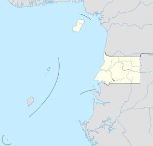 OCS Location of the airport in Equatorial Guinea | |||||||||||
| Runways | |||||||||||
| |||||||||||
Corisco Airport (IATA: OCS) is an airport serving the island of Corisco in Litoral Province, Equatorial Guinea. It was opened in December 2011.[3]
The airport is 26 nautical miles north of the Libreville VOR-DME (ident: LV).
See also
 Aviation portal
- List of airports in Equatorial Guinea
- Transport in Equatorial Guinea
References
- ↑ Airport information for OCS at Great Circle Mapper.
- ↑ Google Maps - Corisco
- ↑ "Corisco now has an international airport". Equatorial Guinea's Press and Information Office. 2011-12-10. Retrieved 2016-04-28.
External links
This article is issued from Wikipedia - version of the 7/4/2016. The text is available under the Creative Commons Attribution/Share Alike but additional terms may apply for the media files.