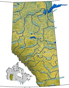
Coal Lake (Alberta)
| Coal Lake | |
|---|---|
| Location |
County of Wetaskiwin No. 10 / Leduc County, Alberta |
| Coordinates | 53°04′29″N 113°16′17″W / 53.07472°N 113.27139°WCoordinates: 53°04′29″N 113°16′17″W / 53.07472°N 113.27139°W |
| Primary inflows | Pipestone Creek |
| Primary outflows | Pipestone Creek |
| Basin countries | Canada |
| Max. length | 11 km (6.8 mi) |
| Max. width | 0.66 km (0.41 mi) |
| Surface area | 10.9 km2 (4.2 sq mi) |
| Average depth | 3.5 m (11 ft) |
| Max. depth | 5.5 m (18 ft) |
| Surface elevation | 719 m (2,359 ft) |
| Settlements | Wetaskiwin |
| References | Atlas of Alberta |
Coal Lake is a long, sinuous lake located approximately 60 km (37 mi) southeast of the city of Edmonton, just northeast of the city of Wetaskiwin. The lake is glacial meltwater channel from the last ice age.
The lake starts east of Kavanagh, Alberta, and ends near Gwynne, Alberta. Coal Lake was named in 1892 by J.D.A. Fitzpatrick, a Dominion Land Surveyor, for the coal beds present in many places along the northeast shore.
See also
This article is issued from Wikipedia - version of the 9/4/2015. The text is available under the Creative Commons Attribution/Share Alike but additional terms may apply for the media files.