Clymping
| Clymping | |
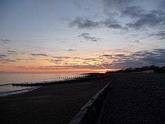 Climping beach at sunset |
|
 Clymping |
|
| Area | 6.35 km2 (2.45 sq mi) [1] |
|---|---|
| Population | 771 (Civil Parish 2011)[2] |
| – density | 121/km2 (310/sq mi) |
| OS grid reference | TQ0002 |
| – London | 52 miles (84 km) NNE |
| Civil parish | Clymping |
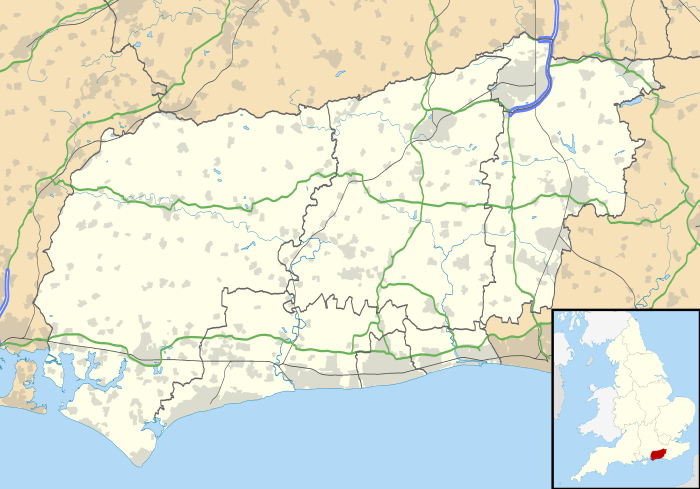
| District | Arun |
| Shire county | West Sussex |
| Region | South East |
| Country | England |
| Sovereign state | United Kingdom |
| Post town | LITTLEHAMPTON |
| Postcode district | BN17 |
| Dialling code | 01903 |
| Police | Sussex |
| Fire | West Sussex |
| Ambulance | South East Coast |
| EU Parliament | South East England |
| UK Parliament | Bognor Regis and Littlehampton |
| Website | http://www.clymping.org.uk/ |
|
|
Coordinates: 50°48′48″N 0°34′43″W / 50.8134°N 0.5785°W
Clymping is a civil parish containing agricultural and natural sandy land around the hamlet of Climping in the Arun District of West Sussex, England. The parish also contains the coastal hamlet of Atherington. It is three miles (5 km) west of Littlehampton, just north of the A259 road.
Amenities
The parish church, dedicated to St Mary, dates from 1080, and is teamed with those of Yapton and Ford under one vicar. There is a canonical sundial, dating from th 12th century, on the south wall.
Fringing the coast towards the River Arun and Littlehampton are the Climping sand dunes, a Site of Special Scientific Interest, which includes areas of rare vegetated shingle.
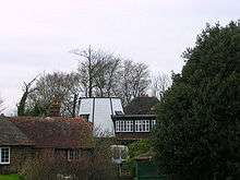
A windmill here predates the mid-18th century and survives, unused for wind power, bereft of its sails but kept up and lived in.
Sport and leisure
Clymping has a Non-League football club Clymping F.C. who play at Clymping Village Playing Fields. Clymping FC play in the Sussex County League Division 3. 2012/2013 sees a change in players and playing staff which the club will hope to move into Division 2.
Clymping Cricket Club also play at Clymping Village Playing Fields. The Club's First XI play in the West Sussex Invitational Cricket League, Division 3 and the Second XI play in Division 10 (West).
References
- ↑ "2001 Census: West Sussex – Population by Parish" (PDF). West Sussex County Council. Archived from the original (PDF) on 8 June 2011. Retrieved 29 March 2009.
- ↑ Key Statistics; Quick Statistics: Population Density United Kingdom Census 2011 Office for National Statistics Retrieved 21 November 2013