Cherokee Pass, Missouri
| Cherokee Pass, Missouri | |
|---|---|
| Unincorporated community | |
 Cherokee Pass, Missouri | |
| Coordinates: 37°29′22″N 90°18′18″W / 37.48944°N 90.30500°WCoordinates: 37°29′22″N 90°18′18″W / 37.48944°N 90.30500°W | |
| Country | United States |
| State | Missouri |
| County | Madison |
| Elevation | 978 ft (298 m) |
| Time zone | Central (CST) (UTC-6) |
| • Summer (DST) | CDT (UTC-5) |
| Area code(s) | 573 |
| GNIS feature ID | 753516[1] |
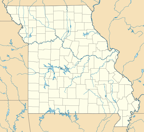
Cherokee Pass is an unincorporated community in Madison County, Missouri, United States. Cherokee Pass is located on U.S. Route 67 south of Fredericktown.
References
- ↑ "US Board on Geographic Names". United States Geological Survey. 2007-10-25. Retrieved 2008-01-31.
Municipalities and communities of Madison County, Missouri, United States | ||
|---|---|---|
| Cities | 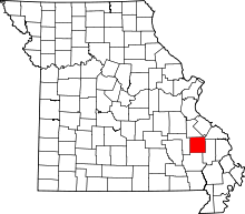 | |
| Villages | ||
| Townships | ||
| CDPs | ||
| Other unincorporated communities | ||
| Abandoned villages | ||
This article is issued from Wikipedia - version of the 7/28/2014. The text is available under the Creative Commons Attribution/Share Alike but additional terms may apply for the media files.