Cela, Angola
| Cela | |
|---|---|
| Municipality | |
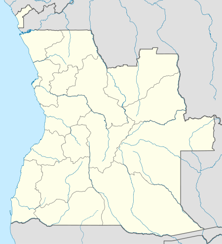 Cela Location in Angola | |
| Coordinates: 11°21′30″S 15°07′10″E / 11.35833°S 15.11944°ECoordinates: 11°21′30″S 15°07′10″E / 11.35833°S 15.11944°E | |
| Country |
|
| Province | Cuanza Sul |
| Area | |
| • Total | 5,525 km2 (2,133 sq mi) |
| Population | |
| • Estimate (2014) | 218,505 |
| • Density | 26.8/km2 (69/sq mi) |
| Time zone | WAT (UTC+1) |
| Climate | Cwb |
Cela is a município (municipality) in the province of Cuanza Sul (Kwanza Sul) in Angola.[1] It covers an area of 5,525 square kilometres (2,133 sq mi) and its estimated population as of 2014 is 218,505.[2]
Cela is bordered to the north by the municipality of Quibala, to the east by the municipality of Andulo, to the south by the municipalities of Bailundo and Cassongue, and to the west by the municipalities of Seles and Ebo.
The municipality contains the comunas (communes) of Waku Kungo, Quissanga Kungo and Sanga. The municipal seat is Waku Kungo.
References
- ↑ "Kuanza-Sul: Municípios" (in Portuguese). Info-Angola. Retrieved 27 Feb 2010.
- ↑ "RESULTADOS PRELIMINARES - Angola 2014 Census" (PDF). United Nations Statistics Division. Instituto Nacional de Estatística. p. 65. Archived from the original (PDF) on 9 May 2016. Retrieved 9 May 2016.
This article is issued from Wikipedia - version of the 9/13/2016. The text is available under the Creative Commons Attribution/Share Alike but additional terms may apply for the media files.