Cazevieille
| Cazevieille | ||
|---|---|---|
|
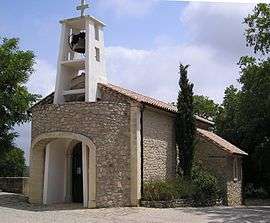
Church | ||
| ||
 Cazevieille | ||
|
Location within Occitanie region  Cazevieille | ||
| Coordinates: 43°46′15″N 3°47′22″E / 43.7708°N 3.7894°ECoordinates: 43°46′15″N 3°47′22″E / 43.7708°N 3.7894°E | ||
| Country | France | |
| Region | Occitanie | |
| Department | Hérault | |
| Arrondissement | Montpellier | |
| Canton | Les Matelles | |
| Intercommunality | Pic-Saint-Loup | |
| Government | ||
| • Mayor (2008–2014) | Jean Vallon | |
| Area1 | 16.21 km2 (6.26 sq mi) | |
| Population (2008)2 | 176 | |
| • Density | 11/km2 (28/sq mi) | |
| Time zone | CET (UTC+1) | |
| • Summer (DST) | CEST (UTC+2) | |
| INSEE/Postal code | 34066 / 34270 | |
| Elevation | 160–658 m (525–2,159 ft) | |
|
1 French Land Register data, which excludes lakes, ponds, glaciers > 1 km² (0.386 sq mi or 247 acres) and river estuaries. 2 Population without double counting: residents of multiple communes (e.g., students and military personnel) only counted once. | ||
.svg.png)
Cazevieille is a commune in the Hérault department in southern France.
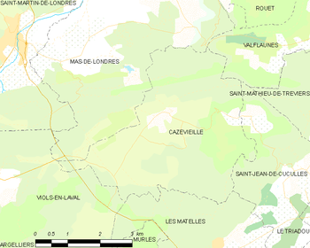
Map
Population
| Historical population | ||
|---|---|---|
| Year | Pop. | ±% |
| 1962 | 31 | — |
| 1968 | 26 | −16.1% |
| 1975 | 24 | −7.7% |
| 1982 | 58 | +141.7% |
| 1990 | 105 | +81.0% |
| 1999 | 118 | +12.4% |
| 2008 | 176 | +49.2% |
See also
References
| Wikimedia Commons has media related to Cazevieille. |
This article is issued from Wikipedia - version of the 2/12/2016. The text is available under the Creative Commons Attribution/Share Alike but additional terms may apply for the media files.