Caton, Tennessee
| Caton's Chapel | |
|---|---|
| Unincorporated community | |
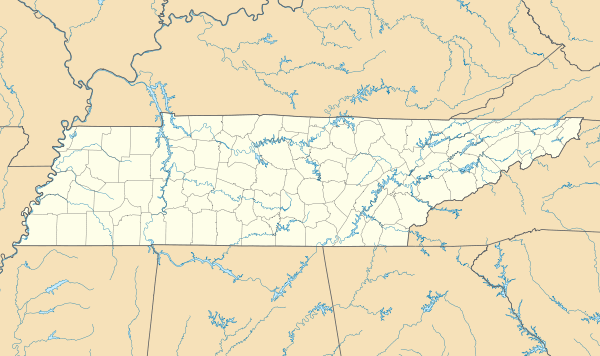 Caton's Chapel  Caton's Chapel Location within the state of Tennessee | |
| Coordinates: 35°48′01″N 83°27′03″W / 35.80028°N 83.45083°WCoordinates: 35°48′01″N 83°27′03″W / 35.80028°N 83.45083°W | |
| Country | United States |
| State | Tennessee |
| County | Sevier |
| Elevation | 1,109 ft (338 m) |
| Time zone | Eastern (EST) (UTC-5) |
| • Summer (DST) | EDT (UTC-4) |
| GNIS feature ID | 1314799[1] |
Caton is an unincorporated community in Sevier County, Tennessee, United States. It is accessible via Birds Creek Road and Catons Chapel Road, near Tennessee Secondary Primary Route 416.
Geography
Caton has a mean elevation of 1,109 feet (338 metres).[1]
References
Municipalities and communities of Sevier County, Tennessee, United States | ||
|---|---|---|
| Cities | ||
| Town | ||
| CDPs | ||
| CCDs | ||
| Unincorporated communities | ||
| Footnotes | ‡This populated place also has portions in an adjacent county or counties | |
This article is issued from Wikipedia - version of the 10/6/2016. The text is available under the Creative Commons Attribution/Share Alike but additional terms may apply for the media files.