Cape Grafton
| Cape Grafton | |
|---|---|
 Location in Queensland | |
| Location | Yarrabah, Far North Queensland |
| Coordinates | 16°51′54″S 145°54′58″E / 16.865°S 145.916111°ECoordinates: 16°51′54″S 145°54′58″E / 16.865°S 145.916111°E |
| Geology | Headland |
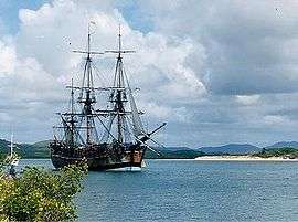
Cape Grafton is a cape located to the north-east of Cairns in Queensland, Australia.[1] The cape was named by Lieutenant James Cook during his first voyage of discovery in 1770. It was named after Augustus FitzRoy, 3rd Duke of Grafton, the British Prime Minister when Cook sailed. Cook set anchor two miles from the shore and briefly inspected the cape with botanists Joseph Banks and Daniel Solander.[2][3]
The Aboriginal community of Yarrabah is located here. It was founded in 1892.[4]
The cape provides protection to an extensive population of mangroves in the south of Trinity Bay.[5]
References
- ↑ "Place Name Search: Cape Grafton". Retrieved 27 August 2013.
- ↑ "9 June 1770 Cook's Journal: Daily Entries". South Seas. National Library of Australia. Retrieved 9 September 2015.
- ↑ "10 June 1770 Cook's Journal: Daily Entries". South Seas. National Library of Australia. Retrieved 9 September 2015.
- ↑ "Yarrabah Aboriginal Shire Council". Queensland Places Names. Centre for the Government of Queensland, University of Queensland. Retrieved 9 September 2015.
- ↑ Johnson, David (2009). The Geology of Australia. Cambridge University Press. p. 229. ISBN 1107393728. Retrieved 9 September 2015.
This article is issued from Wikipedia - version of the 7/27/2016. The text is available under the Creative Commons Attribution/Share Alike but additional terms may apply for the media files.