Cann River, Victoria
This article is about the town. For the watercourse, see Cann River.
| Cann River Victoria | |
|---|---|
 The junction of the Monaro Highway with the Princes Highway | |
 Cann River | |
| Coordinates | 37°34′0″S 149°09′0″E / 37.56667°S 149.15000°ECoordinates: 37°34′0″S 149°09′0″E / 37.56667°S 149.15000°E |
| Population | 169 (2011 census)[1] |
| Postcode(s) | 3890 |
| Elevation | 97 m (318 ft)[2] |
| Location | |
| LGA(s) | Shire of East Gippsland |
| State electorate(s) | Gippsland East |
| Federal Division(s) | Gippsland |
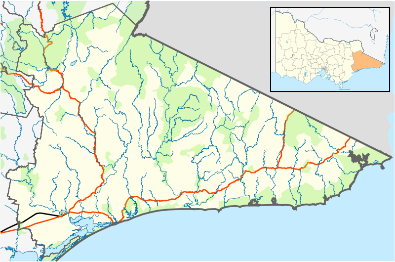
Cann River is a town in the East Gippsland region of Victoria in Australia. The town is located on the Cann River at the junction of the Princess Highway and the Monaro Highway, in the Shire of East Gippsland. At the 2011 census, Cann River had a population of 169 people.
Features
The town is close to the Lind, Coopracambra, Croajingolong, and Alfred national parks, and is a popular stopping point for travellers between Melbourne and Sydney using the Princes Highway route. Public transport services are provided to the town by V/Line, a coach bus service between Canberra and Bairnsdale, that operates three times per week.[3]
The post office opened on 1 July 1890.[4]
Gallery
-

Cann River Hotel
-

Ferns, near Cann River
See also
References
- ↑ Australian Bureau of Statistics (31 October 2012). "Cann River (State Suburb)". 2011 Census QuickStats. Retrieved 11 January 2014.
- ↑ "Map of Cann River, VIC". Bonzle Digital Atlas of Australia. Retrieved 11 January 2014.
- ↑ "Capital Link timetable" (PDF). V/Line. 28 April 2013. Retrieved 11 January 2014.
- ↑ "Post Office List", Premier Postal History, retrieved 11 April 2008
External links
This article is issued from Wikipedia - version of the 9/6/2016. The text is available under the Creative Commons Attribution/Share Alike but additional terms may apply for the media files.