Caicedonia
| Caicedonia | |||
|---|---|---|---|
| Municipality and town | |||
| |||
 Location of the municipality and town of Caicedonia in the Valle del Cauca Department of Colombia. | |||
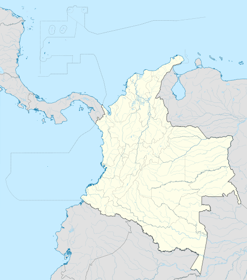 Caicedonia Location in Colombia | |||
| Coordinates: 4°20′N 75°50′W / 4.333°N 75.833°W | |||
| Country |
| ||
| Department | Valle del Cauca Department | ||
| Established | August 3, 1910 | ||
| Area | |||
| • Total | 219 km2 (85 sq mi) | ||
| Population | |||
| • Total | 50,842 | ||
| Time zone | Colombia Standard Time (UTC-5) | ||
| Climate | Af | ||
.svg.png)

Caicedonia (Spanish pronunciation: [kaiseˈðonja]) is a town and municipality located in the Department of Valle del Cauca, Colombia, situated about 172 km from the capital Cali. Founded in 1910 by Daniel Gutierrez, Juan Bautista Angely and a group of settlers from Antioquia, Caldas, and Tolima, it was named after Dr. Lisandro Caicedo and became a municipality in 1923. Mostly mountainous, its economy is based on agriculture and commerce, its main exports are corn, coffee, sugarcane and bananas. Given its location on the border with the Quindío Department, only 35 km from that department's capital, Armenia, Caicedonia belongs ethnographically and culturally to the Paisa region.
External links
- (Spanish) Government of Valle del Cauca: Caicedonia
- (Spanish) Caicedonia official website
Coordinates: 4°20′N 75°50′W / 4.333°N 75.833°W