Bytkiv
Coordinates: 48°37′28″N 24°29′9″E / 48.62444°N 24.48583°E
| Bytkiv Битків Bitków | |
|---|---|
| Urban type settlement | |
 Bytkiv | |
| Coordinates: UA 48°37′28″N 24°29′9″E / 48.62444°N 24.48583°E | |
| Country |
|
| Oblast |
|
| Raion | Nadvirna Raion |
| Government | |
| • Head of Village Council | Vasyl Yosypovych Vintonyak |
| Area | |
| • Total | 31.71 km2 (12.24 sq mi) |
| Population (2016) | |
| • Total | 4,422 |
| • Density | 140/km2 (360/sq mi) |
| Area code(s) | (+380) 3475 |
Bytkiv (Ukrainian: Битків; Polish: Bitków) is an Urban-type settlement in Nadvirna Raion in Ivano-Frankivsk Oblast. Its population was 4,422 (2016 est.)[1].
Location
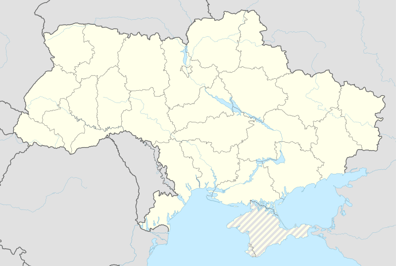
Bytkiv is located 12 kilometers west of Nadvirna between the Bystrytsia of Nadvirna and the Bystrytsia of Solotvyn Rivers on the Gorgany mountain range.
History
Between 1772 and 1918 it was part of Austrian Galicia. After the end of World War I Bytkiv became part of Nadvirna Powiat in Stanisławów Voivodeship, part of Poland. In 1939 it was annexed by the Soviet Union. In 1940 it became an urban-type settlement.
Bitkow was occupied by German troops during World War II from 1941 to 1944, part of the District of Galicia.
Since 2015, the head of the village council has been Vasyl Yosypovych Vintonyak.[2]
Notable People
- Bohdan Beniuk, actor
References
- ↑ "Чисельність наявного населення України (Actual population of Ukraine)" (PDF) (in Ukrainian). State Statistics Service of Ukraine. Retrieved 19 July 2016.
- ↑ "смт. Битків" [Urban-type settlement Bytkiv] (in Ukrainian). Nadvirna Raion Administration. Retrieved 20 July 2016.
| Cities | ||
|---|---|---|
| Urban-type settlements | ||
| Villages |
| |
| Raions | |||||||
|---|---|---|---|---|---|---|---|
| Cities |
| ||||||
| |||||||