Brokopondo
| Brokopondo | |
|---|---|
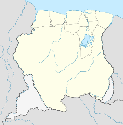 Brokopondo Location in Suriname | |
| Coordinates: 5°4′N 54°58′W / 5.067°N 54.967°WCoordinates: 5°4′N 54°58′W / 5.067°N 54.967°W | |
| Country |
|
| District | Brokopondo District |
| Elevation | 72 m (236 ft) |
| Population (2004) | |
| • Total | 2,854 |
Brokopondo is a capital town of the Brokopondo District, Suriname. It is located on the west shore of the Suriname river, just north of the Afobaka dam. Brokopondo can be reached via the road from Paranam to Afobaka. There's a granite monument made by sculptor Jo Rens, displaying two men: one standing with a parrot and one sitting and writing. It ought to symbolize the past and the future.
Demographically, the largest ethnic group of Brokopondo are the Maroons.
There's a large beach next to the Suriname river near the city centre.
Healthcare
Brokopondo is home to a Medische Zending healthcare centre.
This article is issued from Wikipedia - version of the 4/25/2016. The text is available under the Creative Commons Attribution/Share Alike but additional terms may apply for the media files.