Bridgeville Historic District
|
Bridgeville Historic District | |
|
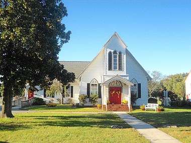
St. Mary's Episcopal Church | |
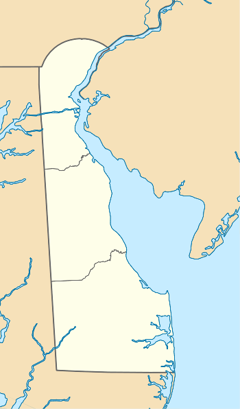  | |
| Location | Roughly bounded by Market, Main and Edgewood Sts., School House Ln., Maple Alley and the Penn Central RR tracks, Bridgeville, Delaware |
|---|---|
| Coordinates | 38°44′28″N 75°36′06″W / 38.74111°N 75.60167°WCoordinates: 38°44′28″N 75°36′06″W / 38.74111°N 75.60167°W |
| Area | 75 acres (30 ha) |
| Built | 1856 |
| Architectural style | Late 19th And 20th Century Revivals, Late 19th And Early 20th Century American Movements, Late Victorian |
| NRHP Reference # | 94000361[1] |
| Added to NRHP | April 14, 1994 |

Bridgeville Historic District, also known as Lewisville and Lewis' Wharf, is a national historic district located at Bridgeville, Sussex County, Delaware. The district includes 166 contributing buildings and 70 contributing structures at Bridgeville, a center of agricultural commerce. The district is primarily residential with resources built from the second quarter of the 19th century through the Great Depression. The dwellings are in a variety of vernacular forms including the "I-house," Shotgun house, and late 19th and 20th century revivals. Located in the district and separately listed are the Bridgeville Public Library and Old Bridgeville Fire House.[2]
It was added to the National Register of Historic Places in 1994.[1]
-
The former Bridgeville Public Library building
-

The current police department building
References
- 1 2 National Park Service (2010-07-09). "National Register Information System". National Register of Historic Places. National Park Service.
- ↑ Peter E. Kurtze and Gabrielle Lanier (August 1993). "National Register of Historic Places Inventory/Nomination: Bridgeville Historic District" (PDF). and Accompanying 19 photos
| Topics |   | |
|---|---|---|
| Lists by county | ||
| Lists by city | ||
| Other lists | ||
| ||