Bridgerule
| Bridgerule | |
| Cornish: Ponsrowald | |
 St Bridget's Church |
|
 Bridgerule |
|
| Population | 570 |
|---|---|
| OS grid reference | SS2702 |
| District | Torridge |
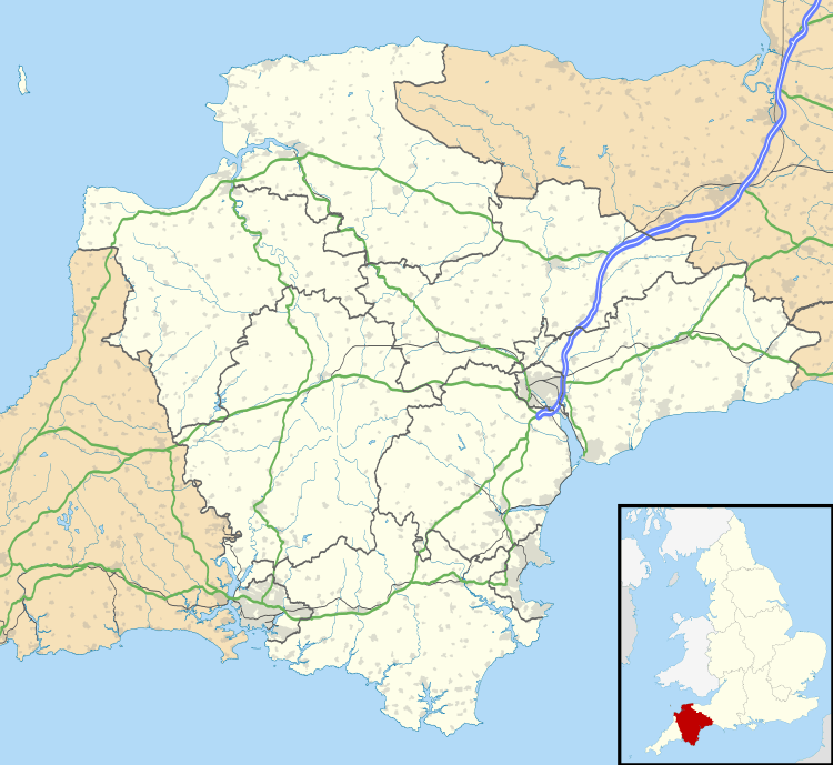
| Shire county | Devon |
| Region | South West |
| Country | England |
| Sovereign state | United Kingdom |
| Police | Devon and Cornwall |
| Fire | Devon and Somerset |
| Ambulance | South Western |
| EU Parliament | South West England |
Coordinates: 50°47′N 4°27′W / 50.79°N 04.45°W
Bridgerule (Cornish: Ponsrowald)[1] is a village and civil parish in Devon, England, a mile from the border with Cornwall. The parish is divided by the River Tamar, which no longer forms the border between Devon and Cornwall there. The river often floods the High Street. An electoral ward exists in the area titled Tamarside. The population at the 2011 census was 1,734[2]
History
Bridgerule was mentioned (as Brige) in the Domesday Book in 1086, when the local manor was held by a Norman, Ruald Adobed. The name is thought to come from bridge and Ruald.[3]
Until 1844 the Tamar formed the border between Devon and Cornwall, and the western part of the parish was in Cornwall. West Bridgerule was transferred to Devon by the Counties (Detached Parts) Act 1844. When civil parishes were created in 1866, East Bridgerule and West Bridgerule became separate parishes, but the two were re-united in 1950.[4]
Whitstone and Bridgerule railway station on the line from Okehampton to Bude served the village, opening in 1898 and closing in 1966.
Church
There is a 15th-century church dedicated, as at Bridestowe, to Saint Bridget, who is commemorated with a statue. There are also several paintings and carvings within. The baptismal font is very old, dating to Saxon times.
References
- ↑ Place-names in the Standard Written Form (SWF) : List of place-names agreed by the MAGA Signage Panel. Cornish Language Partnership. Archived May 15, 2013, at the Wayback Machine.
- ↑ "Ward of Tamarside population". Retrieved 16 February 2015.
- ↑ Bridgerule parish website: History
- ↑ Vision of Britain website: Bridgerule East Archived June 28, 2011, at the Wayback Machine.
External links
| Wikimedia Commons has media related to Bridgerule. |