Boky Wéré
| Boky Wéré | |
|---|---|
| Commune and village | |
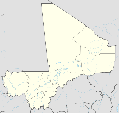 Boky Wéré Location in Mali | |
| Coordinates: 14°0′38″N 5°36′12″W / 14.01056°N 5.60333°WCoordinates: 14°0′38″N 5°36′12″W / 14.01056°N 5.60333°W | |
| Country |
|
| Region | Ségou Region |
| Cercle | Macina Cercle |
| Area[1] | |
| • Total | 220 km2 (80 sq mi) |
| Population (2009 census)[2] | |
| • Total | 16,934 |
| • Density | 77/km2 (200/sq mi) |
| Time zone | GMT (UTC+0) |
Boky Wéré is a village and rural commune in the Cercle of Macina in the Ségou Region of southern-central Mali. The commune covers an area of approximately 220 square kilometers and includes 14 villages.[3] The commune is bordered to the north by the commune of Monimpébougou, to the east by the commune of Kokry, to the west by the commune of Pogo and to the south by the commune of Kolongo. In the 2009 census the commune had a population of 16,934.[2] The village lies to the north of the Fala de Boky-Wéré, an ancient riverbed that forms part of the Office du Niger irrigation system, and to the south of a large irrigation canal dug in 2009 as part of the Libyan financed Malibya project.
References
- ↑ "Common and Fundamental Operational Datasets Registry: Mali", United Nations Office for the Coordination of Humanitarian Affairs http://cod.humanitarianresponse.info/country-region/mali Missing or empty
|title=(help). commune_mali.zip (Originally from the Direction Nationale des Collectivités Territoriales, République du Mali) - 1 2 Resultats Provisoires RGPH 2009 (Région de Ségou) (PDF) (in French), République de Mali: Institut National de la Statistique.
- ↑ Communes de la Région de Ségou (PDF) (in French), Ministère de l’administration territoriale et des collectivités locales, République du Mali.
External links
- Plan de Sécurité Alimentaire Commune Rurale de Boky Wéré 2007-2011 (PDF) (in French), Commissariat à la Sécurité Alimentaire, République du Mali, USAID-Mali, 2007.

This article is issued from Wikipedia - version of the 11/5/2016. The text is available under the Creative Commons Attribution/Share Alike but additional terms may apply for the media files.