Bobbington
| Bobbington | |
 Bobbington |
|
| Population | 588 (2011)[1] |
|---|---|
| OS grid reference | SO809905 |
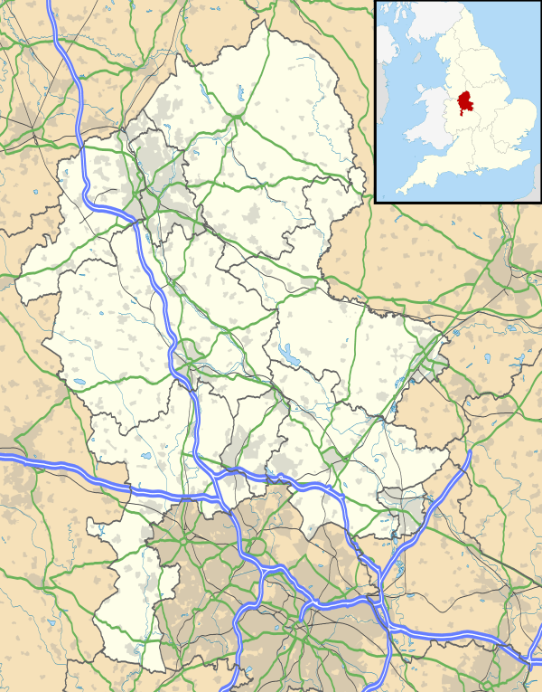
| District | South Staffordshire |
| Shire county | Staffordshire |
| Region | West Midlands |
| Country | England |
| Sovereign state | United Kingdom |
| Post town | Stourbridge |
| Postcode district | DY7 |
| Dialling code | 01384 |
| Police | Staffordshire |
| Fire | Staffordshire |
| Ambulance | West Midlands |
| EU Parliament | West Midlands |
|
|
Coordinates: 52°30′44″N 2°16′58″W / 52.5122°N 2.2827°W
Bobbington is a village and civil parish in the South Staffordshire district of Staffordshire, England, about 5 miles (8.0 km) west of Wombourne. According to the 2001 census it had a population of 506, increasing to 588 at the 2011 Census.
Bobbington is just on the county border with Shropshire (to the west), and is about 8 miles (13 km) east of Bridgnorth in Shropshire. It is only about 5 miles (8.0 km) west of the border with West Midlands, and during World War II was home to Bobbington airfield, renamed during the war as Halfpenny Green, and now known as Wolverhampton Halfpenny Green Airport.
In recent years Bobbington has seen favour in the commuter culture being roughly equidistant from many of the regions business centres Wolverhampton (9.5 miles (15.3 km)) Dudley (9.4 miles (15.1 km)), Stourbridge (10.5 miles (16.9 km)) and Bridgnorth (8.6 miles (13.8 km)).
Schools
- Corbett Primary School
References
- ↑ "Civil Parish population 2011". Retrieved 5 December 2015.
External links
| Wikimedia Commons has media related to Bobbington. |
| Unitary authorities | |
|---|---|
| Boroughs or districts | |
| Major settlements | |
| Rivers | |
| Canals | |
| Topics | |