Blauwestad
| Blauwestad | |
|---|---|
| Village | |
|
Blauwestad project office in 2008 | |
 Blauwestad 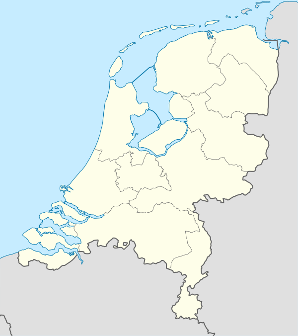 Blauwestad Location in the province of Groningen in the Netherlands | |
| Coordinates: 53°10′N 07°02′E / 53.167°N 7.033°ECoordinates: 53°10′N 07°02′E / 53.167°N 7.033°E | |
| Country | Netherlands |
| Province | Groningen |
| Municipality | Oldambt |
| Postal code | 9685[1] |
.jpg)
Blauwestad (Dutch pronunciation: [ˌblʌuʋəˈstɑt]) is a village in the municipality of Oldambt in the Netherlands. It is situated on the east bank of the Oldambtmeer in the east of the province of Groningen.
History
After the Oldambtmeer was created in 2005, the village of Blauwestad (English: Blue City) started to be developed. The first inhabitants settled in the village in 2006.[2]
Geography
Blauwestad is located at 53°10′N 07°02′E / 53.167°N 7.033°E in the municipality of Oldambt in the east of the province of Groningen in the northeast of the Netherlands.[3] Blauwestad is north of Winschoten, east of Scheemda, southeast of Midwolda, south of Oostwold, southwest of Finsterwolde, and west of Beerta. It was created in and on the eastern bank of the artificial lake Oldambtmeer.
References
- ↑ Zoekresultaten (in Dutch), Postcode.nl. Retrieved 15 May 2016.
- ↑ Geschiedenis (in Dutch), Blauwestad. Retrieved 15 May 2016.
- ↑ Dorpen en Wijken (in Dutch), Municipality of Oldambt. Retrieved 15 May 2016.
External links
-
 Media related to Blauwestad at Wikimedia Commons
 - Blauwestad, project website