Beaver Dam State Park (Nevada)
| Beaver Dam State Park | |
| Nevada State Park | |
| Country | |
|---|---|
| State | |
| County | Lincoln |
| Location | Caliente |
| - elevation | 5,348 ft (1,630 m) [1] |
| - coordinates | 37°30′36″N 114°4′21″W / 37.51000°N 114.07250°WCoordinates: 37°30′36″N 114°4′21″W / 37.51000°N 114.07250°W |
| Area | 2,393 acres (968.4 ha) |
| Founded | 1935 |
| Management | Nevada Division of State Parks |
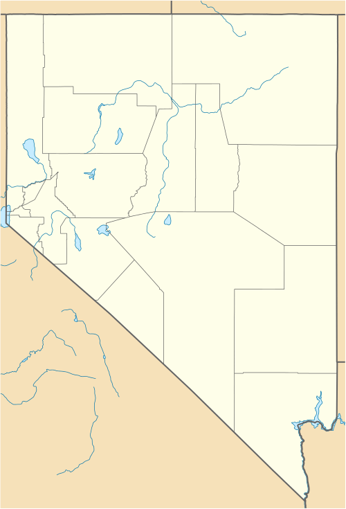 Location of Beaver Dam State Park in Nevada
| |
Beaver Dam State Park is on the Nevada/Utah border in Eastern Nevada. Hidden in the Beaver Dam Mountains of Lincoln County this quiet park is perfect for visitors who want a more primitive camping experience. Located about 30 miles (48 km) southeast of the town of Panaca on a gravel road, Beaver Dam has two campgrounds and a number of hiking trails throughout the Park. The Overlook Trail from Campground B offers a 360 degree view of the Park.
The Park has picnicking, camping, hiking, pond and stream fishing. Schroeder Lake was washed out in the flood of 2005 and the reservoir was not rebuilt. The Park now features streams and beaver ponds where anglers can fish for trout.
Beaver Dam State Park is one of the first four State Parks in Nevada. The State Park system was created by the Nevada Legislature in 1935.
References
- ↑ "Beaver Dam State Park". Geographic Names Information System. United States Geological Survey. 1980-12-12. Retrieved 2011-03-31.