Batayporã
| Batayporã | |
|---|---|
| Municipality | |
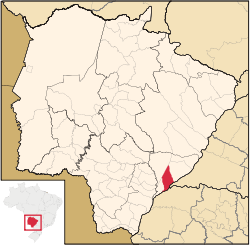 Location in Mato Grosso do Sul state | |
 Batayporã Location in Brazil | |
| Coordinates: 22°17′42″S 53°16′15″W / 22.29500°S 53.27083°WCoordinates: 22°17′42″S 53°16′15″W / 22.29500°S 53.27083°W | |
| Country |
|
| Region | Central-West Region |
| State | Mato Grosso do Sul |
| Area | |
| • Total | 1,828 km2 (706 sq mi) |
| Population (2005) | |
| • Total | 12,288 |
| • Density | 6.7/km2 (17/sq mi) |
| Time zone | BRT-1/BRST-1 (UTC-4/-3) |
Batayporã is a municipality located in the Brazilian state of Mato Grosso do Sul. Its population was 12,288 (2005) and its area is 1,828 km².[1] The town was founded by Jan Antonín Baťa, the king of shoes.
The town has some residential developments, but it is surrounded by agricultural land. It is located south of Anaurilândia at the junction of MS-395 the MS-134 (BR376), paved single lane highways.
Other towns in Brazil linked to Bata:
See also
References
- ↑ IBGE - "Archived copy". Archived from the original on 2007-01-09. Retrieved 2014-08-03.
Capital: Campo Grande | |||||||||||||||
| Mesoregion Centro Norte de Mato Grosso do Sul |
|  | |||||||||||||
| Mesoregion Leste de Mato Grosso do Sul |
| ||||||||||||||
| Mesoregion Pantanal Sul Mato-Grossense |
| ||||||||||||||
| Mesoregion Sudoeste de Mato Grosso do Sul |
| ||||||||||||||
This article is issued from Wikipedia - version of the 10/28/2016. The text is available under the Creative Commons Attribution/Share Alike but additional terms may apply for the media files.