Barlavington
| Barlavington | |
 |
|
 Barlavington |
|
| Area | 3.97 km2 (1.53 sq mi) [1] |
|---|---|
| Population | 117 [1] 2001 Census |
| – density | 43/km2 (110/sq mi) |
| OS grid reference | SU972160 |
| – London | 45 miles (72 km) NNE |
| Civil parish | Barlavington |
| District | Chichester |
| Shire county | West Sussex |
| Region | South East |
| Country | England |
| Sovereign state | United Kingdom |
| Post town | PETWORTH |
| Postcode district | GU28 |
| Dialling code | 01798 |
| Police | Sussex |
| Fire | West Sussex |
| Ambulance | South East Coast |
| EU Parliament | South East England |
| UK Parliament | Arundel and South Downs |
|
|
Coordinates: 50°56′09″N 0°37′03″W / 50.93593°N 0.61747°W
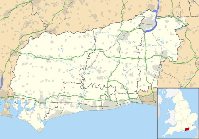
Barlavington is a small village and civil parish in the Chichester district of West Sussex, England. The village is situated about four miles (6 km) south of Petworth, east of the A285 road. At the 2011 Census the population was included in the civil parish of Sutton.
The nearest railway station is five miles (8 km) northeast of the village, at Pulborough.
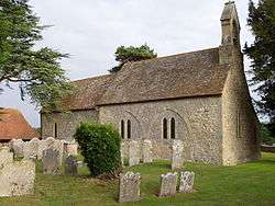
St Mary's Church was built between 1160 and 1190. Most of the church was built in Early English style.
The parish covers an area of 397 hectares (980 acres). According to the 2001 census it had a population of 117 people living in 35 households. Owing to the presence of a retirement home only 36 people were economically active.
References
- 1 2 "2001 Census: West Sussex – Population by Parish" (PDF). West Sussex County Council. Archived from the original (PDF) on June 8, 2011. Retrieved 12 April 2009.
External links
-
 Media related to Barlavington at Wikimedia Commons
 - Barlavington in the Domesday Book
This article is issued from Wikipedia - version of the 9/27/2016. The text is available under the Creative Commons Attribution/Share Alike but additional terms may apply for the media files.