Ashton, South Northamptonshire
| Ashton | |
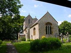 St Michael and All Angels |
|
 Ashton |
|
| Population | 389 (2001 Census) 395 (2011).[1] |
|---|---|
| OS grid reference | SP767499 |
| – London | 67 miles (107.8 km) |
| District | South Northamptonshire |
| Shire county | Northamptonshire |
| Region | East Midlands |
| Country | England |
| Sovereign state | United Kingdom |
| Post town | Northampton |
| Postcode district | NN7 |
| Dialling code | 01604 |
| Police | Northamptonshire |
| Fire | Northamptonshire |
| Ambulance | East Midlands |
| EU Parliament | East Midlands |
| UK Parliament | Northampton South |
|
|
Coordinates: 52°08′32″N 0°52′50″W / 52.1421°N 0.8806°W
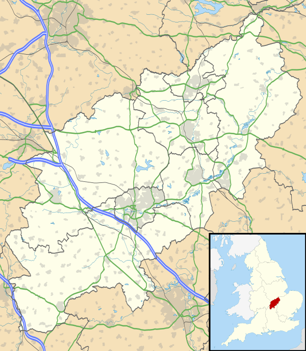
Ashton is a village in South Northamptonshire about 1 mile (1.6 km) southeast of Roade village close to the Northampton to Milton Keynes A508, ca.3 miles (5 km) south of junction 15 of the M1 motorway, 6 miles (10 km) south of Northampton and 11 miles (18 km) north of Milton Keynes. The population of the civil parish at the 2011 census was 395.[2] The village is about 67 miles (107.8 km) north of London via the M1 junction 15. The West Coast Main Line intersects the village on its eastern side.
Governance
The village has a Parish Council and the Ashton website publishes name of councilors and their proceedings.[3]
Notable buildings
The church is dedicated to St Michael with the oldest parts 13th and 14th century. It was extensively restored in 1895. There are various monuments:
- Sir Philip de Lou (d.14th century)
- Sir John de Herteshull (c.1365)
- Robert Marriot (d.1584) and his family
The popular pub the Old Crown Inn, on Stoke Road also serves meals.
The village has a single Church of England primary school: Ashton C of E Primary School.
References
- ↑ SNC (2010). South Northamptonshire Council Year Book 2010-2011. Towcester NN12 7FA. p. 39.
- ↑ "Civiul Parish population 2011". Neighbourhood Statistics. Office for National Statistics. Retrieved 27 June 2016.
- ↑ Ashton village website including details of the Parish Council
External links
| Wikimedia Commons has media related to Ashton, South Northamptonshire. |
- Map sources for Ashton, South Northamptonshire
- Ashton in the Domesday Book