Appledore, Mid Devon
See Appledore for other places with the same name.
Coordinates: 50°55′14″N 3°19′49″W / 50.9206°N 3.3302°W
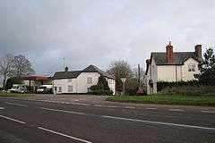
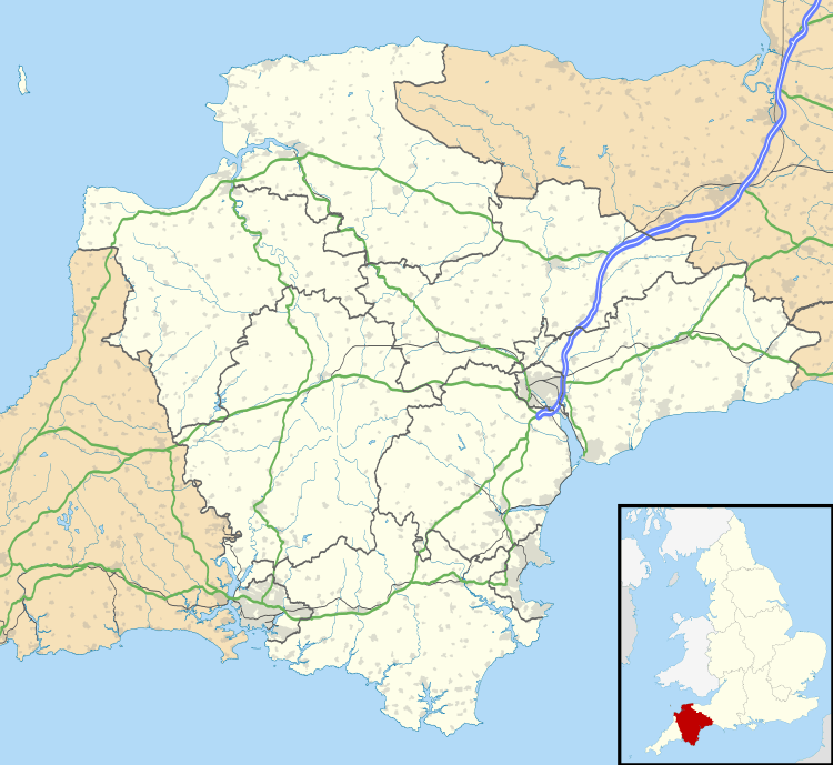
Appledore is a small village near Uffculme in Devon, England, about 7 miles (11 kilometres) east of Tiverton.[1][2]
Appledore was listed in the Domesday Book of 1086. [3]
References
- ↑ Ordnance Survey: Landranger map sheet 181 Minehead & Brendon Hills (Dulverton & Tiverton) (Map). Ordnance Survey. 2009. ISBN 9780319231814.
- ↑ "Ordnance Survey: 1:50,000 Scale Gazetteer" (csv (download)). www.ordnancesurvey.co.uk. Ordnance Survey. 1 January 2016. Retrieved 30 January 2016.
- ↑ Professor J.J.N.Palmer. "Open Doomsday: Appledore". www.opendomesday.org. Anna Powell-Smith. Retrieved 31 January 2016.
External links
-
 Media related to Appledore, Mid Devon at Wikimedia Commons
 - Appledore in the Domesday Book
This article is issued from Wikipedia - version of the 7/20/2016. The text is available under the Creative Commons Attribution/Share Alike but additional terms may apply for the media files.