Amselflue
| Amselflue | |
|---|---|
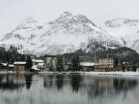 Amselflue (right summit) from Arosa | |
| Highest point | |
| Elevation | 2,781 m (9,124 ft) |
| Prominence | 290 m (950 ft) [1] |
| Parent peak | Aroser Rothorn |
| Coordinates | 46°45′49.8″N 9°43′44.5″E / 46.763833°N 9.729028°ECoordinates: 46°45′49.8″N 9°43′44.5″E / 46.763833°N 9.729028°E |
| Geography | |
 Amselflue Location in Switzerland | |
| Location | Graubünden, Switzerland |
| Parent range | Plessur Alps |
The Amselflue is a mountain of the Plessur Alps, overlooking Arosa in the canton of Graubünden. The main summit has an elevation of 2,781 metres, while the eastern summit, located directly above the Maienfelder Furgga, is 2,768 metre high.
References
External links
This article is issued from Wikipedia - version of the 5/8/2016. The text is available under the Creative Commons Attribution/Share Alike but additional terms may apply for the media files.