Amadjuak Lake
| Amadjuak Lake | |
|---|---|
 Amadjuak Lake is in the southern part of Baffin Island, the lower of the two visible lakes; the higher one is Nettilling Lake. | |
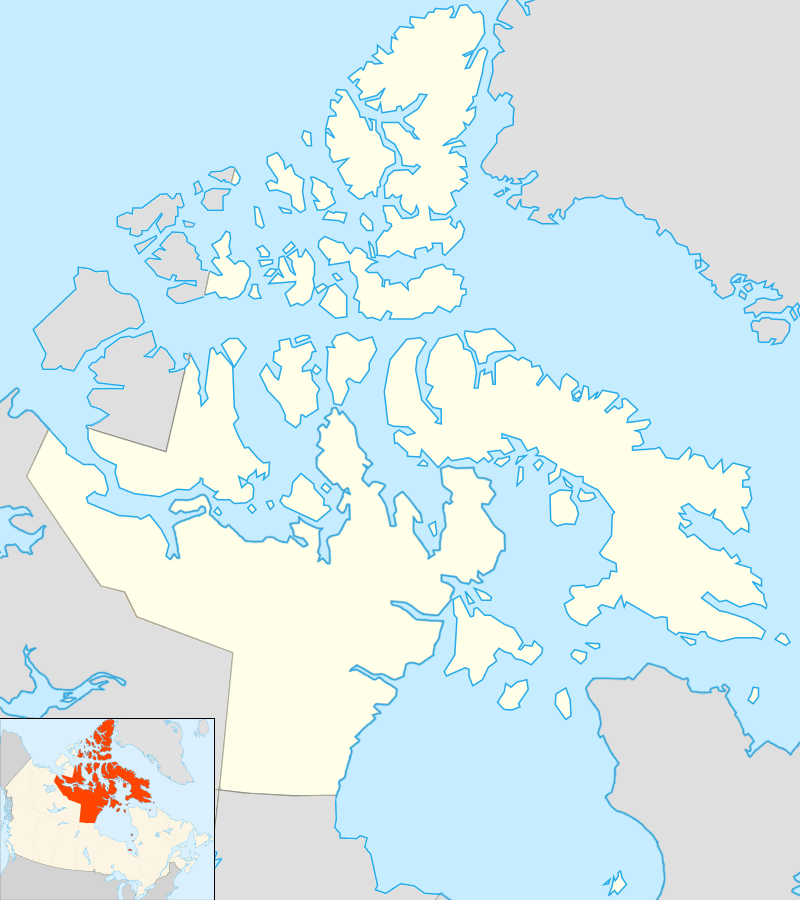 Amadjuak Lake Location in Nunavut | |
| Location | Baffin Island, Nunavut |
| Coordinates | 64°55′N 071°00′W / 64.917°N 71.000°WCoordinates: 64°55′N 071°00′W / 64.917°N 71.000°W |
| Basin countries | Canada |
| Surface area | 3,115 km2 (1,203 sq mi) |
| Surface elevation | 113 m (371 ft) |
| Settlements | uninhabited |
| References | [1] |
Amadjuak Lake is a lake in the Qikiqtaaluk Region, Nunavut, Canada. Along with Nettilling Lake, it is located in south-central Baffin Island's Great Plain of the Koukdjuak. It is 154 km (96 mi) south of Burwash Bay. The closest community is Iqaluit. (Jacobs, 1997)
Geography
The lake is 3,115 km2 (1,203 sq mi) in size, and sits at an elevation of 113 m (371 ft).
This lower-lying area only emerged 4,500 years ago (recently in geological terms) from beneath the waters of Foxe Basin. Amadjuak Lake is the second largest lake on Baffin Island (after Nettilling Lake) and third-largest in Nunavut.
Ethnography
The lake was a gathering place for Inuit from Kimmirut, Soper River Valley, Pangnirtung, Cape Dorset, and Frobisher Bay.[2]
Fauna
Amadjuak Lake is also notable as a summer feeding grounds, calving grounds, and migration route for the Southern Qikiqtaaluk herd of Barren-ground caribou.[3]
See also
References
- ↑ "Principal lakes, elevation and area, by province and territory". Statistics Canada. 2005-02-02. Retrieved 2015-03-11.
- ↑ "History of the Soper River". park.org. Retrieved 2008-01-19.
- ↑ "Inuit Knowledge of the Qikiqtaaluk Caribou". itk.ca. Archived from the original on 2007-08-13. Retrieved 2008-01-19.
- Jacobs, J. D., A. N. Headley, L. A. Maus, and W. N. Mode. 1997. "Climate and Vegetation of the Interior Lowlands of Southern Baffin Island: Long-Term Stability at the Low Arctic Limit". Arctic. 50, no. 2: 167.