Almolonga, Quetzaltenango
| Almolonga | |
|---|---|
| municipality | |
 | |
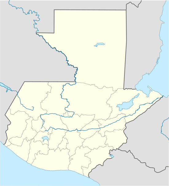 Almolonga Location in Guatemala | |
| Coordinates: 14°48′44″N 91°29′40″W / 14.81222°N 91.49444°W | |
| Country |
|
| Admin. division |
|
| Foundation | before 1524 |
| Government | |
| • Alcalde | Catarino Eligio Cacatzun Machic |
| Area | |
| • Total | 20 km2 (8 sq mi) |
| Elevation | 2,251 m (7,385 ft) |
| Population | |
| • Total | 16,850 |
| Climate | Cwb |
Almolonga is a municipality in the Quetzaltenango Department of Guatemala, located on the road between Ciudad de Quetzaltenango (Quetzaltenango City) and Zunil. Its populace is primarily indigenous, speaking the K'iche' (Quiché) language
The village is known as the "Vegetable Basket of the Americas" (La Hortaliza de las Américas) due to the intense cultivation of vegetables in its vicinity. Tourist attractions include nearby thermal baths and Paradise Valley.
A Protestant church formed in Almolonga in the 1970s which gave the population of the town valuable infrastructure that allow the town to harvest crops more successfully. However the town relies heavily on pesticides. There is still some argument of what percentage of the town follows Protestantism and is often cited as a place of revival.[1]
Coordinates: 14°48′44″N 91°29′40″W / 14.81222°N 91.49444°W
References
| Wikivoyage has a travel guide for Almolonga. |
