Algorta, Uruguay
| Algorta | |
|---|---|
| Village | |
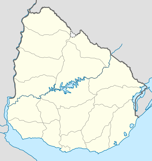 Algorta Location in Uruguay | |
| Coordinates: 32°25′20″S 57°23′32″W / 32.42222°S 57.39222°WCoordinates: 32°25′20″S 57°23′32″W / 32.42222°S 57.39222°W | |
| Country |
|
| Department | Río Negro Department |
| Elevation | 120 m (390 ft) |
| Population (2011) | |
| • Total | 779 |
| Time zone | UTC -3 |
| Postal code | 60002 |
| Dial plan | +598 4567 (+4 digits) |
Algorta is a village in the Río Negro Department of Uruguay.
Location
The village is located on Route 25, close to the border with Paysandú Department, 40 kilometres (25 mi) northeast of the city of Young. It is situated on the Cuchilla de Haedo range of hills.
History
On 24 July 1929, its status was elevated to "Pueblo" (village) by decree Ley Nº 8.448.[1]
Population
In 2011 Algorta had a population of 779.[2]
| Year | Population |
|---|---|
| 1963 | 695 |
| 1975 | 570 |
| 1985 | 548 |
| 1996 | 705 |
| 2004 | 804 |
| 2011 | 779 |
Source: Instituto Nacional de Estadística de Uruguay[1]
References
- 1 2 "Statistics of urban localities (1963–2004)" (PDF). INE. 2012. Retrieved 5 September 2012.
- ↑ "Censos 2011 Río Negro". INE. 2012. Retrieved 25 August 2012.
External links
Capital: Fray Bentos | ||
| Towns and villages | 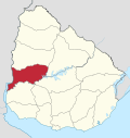 | |
| Sights |
| |
This article is issued from Wikipedia - version of the 10/9/2016. The text is available under the Creative Commons Attribution/Share Alike but additional terms may apply for the media files.