Alert Airport
| Alert Airport | |||||||||||
|---|---|---|---|---|---|---|---|---|---|---|---|
|
IATA: YLT – ICAO: CYLT – WMO: 71355 | |||||||||||
| Summary | |||||||||||
| Airport type | Military | ||||||||||
| Operator |
DND / 1CdnAirDiv Alert AMO Ottawa | ||||||||||
| Location | Alert, Nunavut | ||||||||||
| Time zone | EST (UTC−05:00) | ||||||||||
| • Summer (DST) | EDT (UTC−04:00) | ||||||||||
| Elevation AMSL | 100 ft / 30 m | ||||||||||
| Coordinates | 82°31′04″N 062°16′50″W / 82.51778°N 62.28056°WCoordinates: 82°31′04″N 062°16′50″W / 82.51778°N 62.28056°W | ||||||||||
| Map | |||||||||||
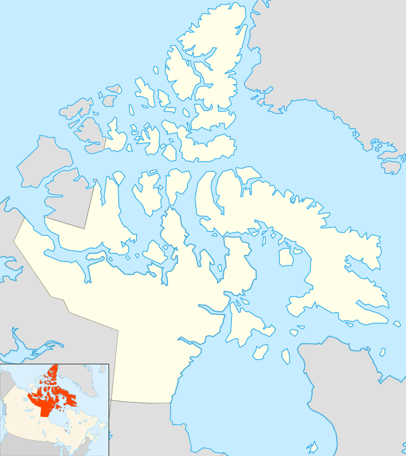 CYLT Location in Nunavut | |||||||||||
| Runways | |||||||||||
| |||||||||||
Alert Airport (IATA: YLT, ICAO: CYLT) is located at Alert, Nunavut, Canada, approximately 830 km (520 mi) south of the true North Pole. It is operated by the Canadian Department of National Defence and is part of Canadian Forces Station Alert. A weather station was established on the site in 1950, and in 1957 construction began on the military facilities which are still in use to this day. It is the northernmost airport in the world.
Facilities
Radar and navigation equipment are trailer units that can be moved around the airport. The airport's fire and rescue operations are supported by a 2012 KME/Fort Garry Fire Truck ARFF.[3] Two bulldozers are used to grade the runway when needed.[4]
Incidents
There have been two crashes involving fatalities at the airfield since it was established.
- July 31, 1950 – Royal Canadian Air Force Avro Lancaster AG-965 on a re-supply flight crashed, killing all 9 on board (crew members and passengers).[5][6]
- October 30, 1991 – Boxtop 22, a Lockheed C-130 Hercules from Trenton on re-supply mission crashed, killing 5 on board.[5]
See also
- List of airports in Nunavut
- Thule Air Base US - Greenland
References
- ↑ Canada Flight Supplement. Effective 0901Z 15 September 2016 to 0901Z 10 November 2016
- ↑ Synoptic/Metstat Station Information
- ↑ http://www.fgft.com/?section=11&page=50&id=503
- ↑ http://www.jproc.ca/rrp/alert.html
- 1 2 http://www.rcaf-arc.forces.gc.ca/8w-8e/alert/page-eng.asp?id=1106
- ↑ http://www.bombercommandmuseum.ca/lancavro.html
External links
- Past three hours METARs, SPECI and current TAFs for Alert Airport from Nav Canada as available.
| By name | |
|---|---|
| By location indicator | |
| By province/territory | |
| By region | |
| National Airports System | |
| Related | |
| |