Aklavik Water Aerodrome
| Aklavik Water Aerodrome | |||||||||||
|---|---|---|---|---|---|---|---|---|---|---|---|
| IATA: none – ICAO: none – TC LID: CER6 | |||||||||||
| Summary | |||||||||||
| Airport type | Public | ||||||||||
| Operator | K & D Contracting | ||||||||||
| Location | Aklavik, Northwest Territories | ||||||||||
| Time zone | MST (UTC−07:00) | ||||||||||
| • Summer (DST) | MDT (UTC−06:00) | ||||||||||
| Elevation AMSL | 7 ft / 2 m | ||||||||||
| Coordinates | 68°13′21″N 134°59′30″W / 68.22250°N 134.99167°WCoordinates: 68°13′21″N 134°59′30″W / 68.22250°N 134.99167°W | ||||||||||
| Map | |||||||||||
 CER6 Location in the Northwest Territories | |||||||||||
| Runways | |||||||||||
| |||||||||||
|
Sources: Water Aerodrome Supplement[1] | |||||||||||
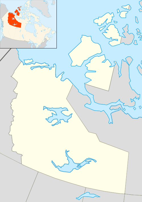
Aklavik Water Aerodrome (TC LID: CER6) is located adjacent to Aklavik, Northwest Territories, Canada on the Peel Channel of the Mackenzie River delta. Aklavik was the regional centre but was prone to flooding, in 1959, Inuvik was purpose built to house a larger airport, highway connections, new health facilities, housing and an innovative public utilidor system. Aklavik remains a small traditional village that retains its connections to the land and river. The river is open from the middle of June until September.
See also
References
- ↑ Nav Canada's Water Aerodrome Supplement. Effective 0901Z 7 March 2013 to 0901Z 3 April 2014
| By name | |
|---|---|
| By location indicator | |
| By province/territory | |
| By region | |
| National Airports System | |
| Related | |
| |
This article is issued from Wikipedia - version of the 12/4/2016. The text is available under the Creative Commons Attribution/Share Alike but additional terms may apply for the media files.