1822 territorial division of Spain


The 1822 territorial division of Spain was a rearrangement of the territory of Spain into various provinces, enacted briefly during the Trienio Liberal of 1820–1823. It is remembered today largely as a precursor to the similar 1833 territorial division of Spain; the provinces established in the latter remain, by and large, the basis for the present-day division of Spain into provinces.[1][2]
Background
After the uprising led by liberal general Rafael del Riego of 1820 led to the Trienio Liberal (three years of government by the Spanish liberals), that government proposed a new division of Spain in its entirety, for administrative, governmental, judicial and economic purposes, according to criteria of legal equality, unity and efficiency.
The provinces
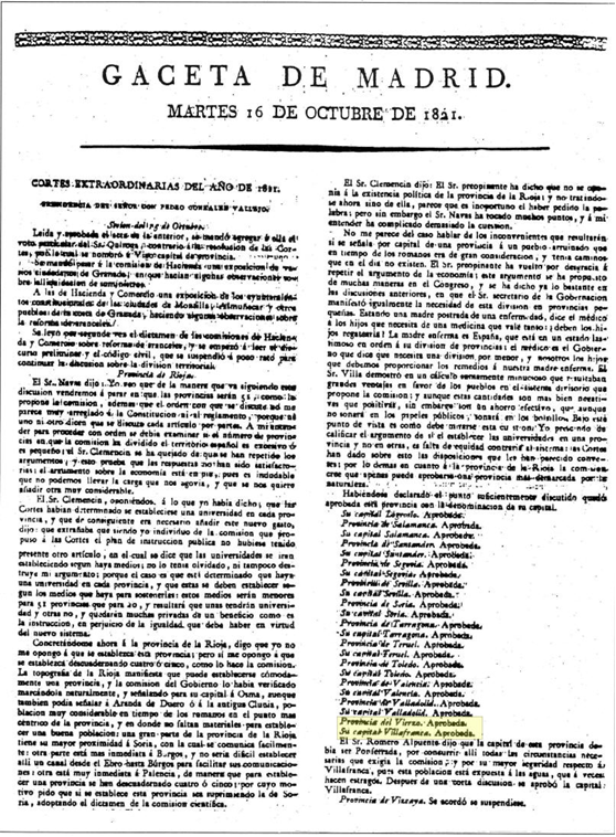
On 27 January 1822 the government approved a provisional division of Spain into 52 provinces.[3] The 1833 statute would follow this pattern closely, although it eliminated three of the provinces and renamed five others.[4]
The following table groups provinces by the "historic regions" that were introduced in 1833.
| Historic region | Provinces |
|---|---|
| Andalusia | Almería, Cádiz, Córdoba, Granada, Huelva, Jaén, Málaga, Sevilla |
| Aragon | Calatayud, Huesca, Teruel, Zaragoza |
| Asturias | Oviedo |
| Balearic Islands | Palma de Mallorca |
| Canary Islands | Santa Cruz de Tenerife (which also included the present-day province of Las Palmas) |
| New Castile | Ciudad Real, Cuenca, Guadalajara, Madrid, Toledo |
| Old Castile | Ávila, Burgos, Logroño, Palencia, Santander, Segovia, Soria, Valladolid |
| Catalonia | Barcelona, Gerona, Lérida, Tarragona |
| Extremadura | Badajoz, Cáceres |
| Galicia | La Coruña, Lugo, Orense, Pontevedra |
| León | León, Salamanca, El Vierzo,[5] Zamora |
| Murcia | Chinchilla (the later Province of Albacete, with a different proposed capital), Murcia |
| Navarre | Pamplona (Navarre) |
| Valencia | Alicante, Castellón, Játiva, Valencia. |
| Basque provinces | Bilbao (Vizcaya), San Sebastián (Guipúzcoa), Vitoria (Álava) |
Some of these provinces were entities created for the first time, such as Almería and Málaga (carved out of the traditional Kingdom of Granada), Huelva (Kingdom of Seville), Calatayud, and Logroño; others were given new names, such as Murcia or the Basque provinces (Spanish: provincias Vascongadas).
This proposal made few concessions to history, sticking closely to criteria of population, geographical area, and geographic coherence.[6] Historic regional names were generally ignored, with provinces named after their respective capitals. Nor were traditional provincial borders respected by the new map.[7] Most enclaves of one province within another were eliminated. The precise number of provinces and their capitals was the subject of intense debate.
1822 saw the restoration of the institution of provincial intendants as delegates of the Ministry of the Treasury (Hacienda), but the fall of the liberal government and restoration of absolutism in 1823 brought an end to the project. The old provincial arrangement of Spain was restored, as was the division into kingdoms; these would remain in effect until 1833.
Notes
- ↑ (Spanish) Eduardo Barrenechea, Los 'gibraltares' de unas regiones en otras: Treviño, Llivia, Rincón de Ademuz..., El País, 1983-02-08. Accessed online 2000-12-30. This article comments on the persistence of the 1833 territorial division, in the context of a discussion of the remaining exclaves of various provinces.
- ↑ Daniele Conversi, The Spanish Federalist Tradition and the 1978 Constitution, p. 12, footnote 63. Accessed online 2000-12-31.
- ↑ (Spanish) División provisional del territorio español de 27 de Enero de 1822, the text of the proposed 1822 territorial division of Spain, Instituto de Historia, Consejo Superior de Investigaciones Cientificas (CSIC, Spanish National Research Council). Accessed online 2010-01-03.
- ↑ (Spanish) Real Decreto de 30 de noviembre de 1833 on Wikisource;
Real Decreto de 30 de noviembre de 1833 on the official web site of the government of the Canary Islands, accessed 2009-12-31. - ↑ Gaceta de Madrid de 1822, the official gazette of the period.
- ↑ Pérez, Joseph (1999). Historia de España (in Spanish). Barcelona: Crítica. p. 464. ISBN 84-8432-091-X.
- ↑ See (Spanish) La integración de municipios limítrofes, Jarique, accessed online 2009-12-31. This article discusses the present-day Cortes Generales' refusal to adjust the borders of the autonomous community Murcia at the time of its formation to include territories historically part of the Kingdom of Murcia but falling outside of the 1833 province, which followed the 1822 proposal.
External links
- (Spanish) División provisional del territorio español de 27 de Enero de 1822, the text of the proposed 1822 territorial division of Spain, Instituto de Historia, Consejo Superior de Investigaciones Cientificas (CSIC, Spanish National Research Council).