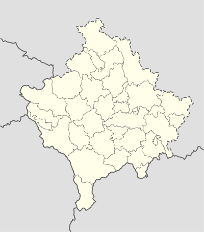
Šaljska Bistrica
| Šaljska Bistrica Bistrica e Shalës | |
|---|---|
| Village | |
 Šaljska Bistrica | |
| Coordinates: 43°0′54″N 20°49′30″E / 43.01500°N 20.82500°E | |
| Country | Kosovo |
| District | Mitrovica District |
| Municipality | Leposavić |
| Elevation | 1,940 ft (590 m) |
| Time zone | CET (UTC+1) |
| • Summer (DST) | CEST (UTC+2) |
| Area code(s) | +383 |
Šaljska Bistrica (Serbian Cyrillic: Шаљска Бистрица, Albanian: Bistrica e Shalës) is a settlement in the Leposavić municipality in northern Kosovo.
Name
In 1986, the secondary name of Šaljska Bistrica was the Albanianized version "Bistrica e Shalës".[1]
Geography
The village is located 12 km southeast from Leposavić, below the Kopaonik.[2] The settlement lies on both sides of the middle flow of the Bistrica, a right tributary of Ibar. The settlement is of the scattered type (razbijenog tipa), and its cadastral area includes 787 hectares.
History
The village of Bistrica (Бистрица) was mentioned in the 1455 Ottoman defter (tax registry).[2] Serbs were the majority population up until the mid-19th century, when Albanians expelled them and had their Orthodox church destroyed.[2] The toponym Crkvište is used for the area of the church ruins.[2][3]
Demographics
The village is inhabited by an ethnic Albanian majority.
References
- ↑ Hashim Islami (1986). Arhivski fondovi i zbirke u arhivima i arhivskim odeljenjima u SFRJ: SAP Kosovo. 9. Savez arhivskih radnika Jugoslavije. p. 135.
- 1 2 3 4 Kalezić 2002, p. 197.
- ↑ Gojko Subotić (1998). Art of Kosovo: the sacred land. Monacelli Press. p. 241. ISBN 978-1-58093-006-2.
Sources
- Kalezić, Dimitrije M. (2002). A - Z. Savremena administracija. p. 197.
External links
- http://kossev.info/strana/arhiva/veterani_ovk_grade_elektranu_u_opstini_leposavic/3609
- http://www.info-ks.net/clanak/49714/tezak-zivot-mjestana-saljske-bistrica
- http://www.novosti.rs/vesti/srbija.73.html:531446-Leposavic-Drenicani-mute-Bistricu