Ľubica
| Ľubica | ||
| Municipality | ||
.JPG) | ||
|
||
| Country | Slovakia | |
|---|---|---|
| Region | Prešov | |
| District | Kežmarok | |
| Elevation | 630 m (2,067 ft) | |
| Coordinates | 49°14′14″N 20°26′54″E / 49.23722°N 20.44833°ECoordinates: 49°14′14″N 20°26′54″E / 49.23722°N 20.44833°E | |
| Area | 26.42 km2 (10.20 sq mi) | |
| Population | 8,386 (2004-12-31) | |
| Density | 317/km2 (821/sq mi) | |
| First mentioned | 1271 | |
| Postal code | 059 71 | |
| Car plate | KK | |
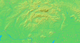  Location of Ľubica in Slovakia | ||
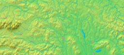  Location of Ľubica in the Prešov Region | ||
| Statistics: MOŠ/MIS | ||

Ľubica (Hungarian: Leibic, German: Leibitz, Rusyn: Любіца) is a large village and municipality in Kežmarok District in the Prešov Region of north Slovakia.[1] It is now mostly housing development district with a lot of panel block houses.
History
In historical records the village was first mentioned in 1271.
Geography
The municipality lies at an altitude of 630 metres and covers an area of 26.421 km² . It has a population of about 8,375 people.
References
- ↑ "Statistical Office of the Slovak Republic" (PDF). Výsledky SODB 2011. Štatistický úrad SR. Retrieved 8 September 2012.
External links
This article is issued from Wikipedia - version of the 9/7/2015. The text is available under the Creative Commons Attribution/Share Alike but additional terms may apply for the media files.