South Guardian Angel
South Guardian Angel is a 7,140-foot (2,176 meter) elevation summit located in Zion National Park, in Washington County of southwest Utah, United States.[3]
| South Guardian Angel | |
|---|---|
 Northeast aspect, from West Rim Trail | |
| Highest point | |
| Elevation | 7,140 ft (2,180 m) [1] |
| Prominence | 1,205 ft (367 m) [1] |
| Parent peak | North Guardian Angel (7,395 ft)[2] |
| Isolation | 1.43 mi (2.30 km) [2] |
| Coordinates | 37°17′44″N 113°03′35″W <[3] |
| Geography | |
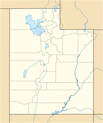 South Guardian Angel Location in Utah  South Guardian Angel South Guardian Angel (the United States) | |
| Location | Zion National Park Washington County, Utah United States |
| Parent range | Colorado Plateau |
| Topo map | USGS The Guardian Angels |
| Geology | |
| Age of rock | Jurassic |
| Type of rock | Navajo sandstone |
| Climbing | |
| Easiest route | class 3+ scrambling[2] |
Description
South Guardian Angel, a formation composed of white Navajo Sandstone, is situated 8.0 mi (12.9 km) north-northwest of Springdale, Utah. Its nearest higher neighbor is North Guardian Angel, 1.44 mi (2 km) to the north. The Subway, a small, uniquely-shaped slot canyon, is set between these two peaks. The South Guardian Angel name was officially adopted in 1934 by the U.S. Board on Geographic Names.[3] Precipitation runoff from this mountain drains into North Creek, a tributary of the Virgin River.
Climate
Spring and fall are the most favorable seasons to visit South Guardian Angel. According to the Köppen climate classification system, it is located in a Cold semi-arid climate zone, which is defined by the coldest month having an average mean temperature below 32 °F (0 °C), and at least 50% of the total annual precipitation being received during the spring and summer. This desert climate receives less than 10 inches (250 millimeters) of annual rainfall, and snowfall is generally light during the winter.[4]
Gallery

 South Guardian Angel, east aspect, from West Rim Trail
 South Guardian Angel from West Rim Trail
 South Guardian Angel from West Rim Trail
References
- "South Guardian Angel, Utah". Peakbagger.com.
- "South Guardian Angel - 7,140' UT". listsofjohn.com. Retrieved 2020-09-10.
- U.S. Geological Survey Geographic Names Information System: South Guardian Angel
- "Zion National Park, Utah, USA - Monthly weather forecast and Climate data". Weather Atlas. Archived from the original on August 31, 2020. Retrieved 31 August 2020.
External links
- Zion National Park National Park Service
- South Guardian Angel: Weather forecast
- South Guardian Angel climbing: mountainproject.com