Whitewater River (Oregon)
| Whitewater River | |
| Country | United States |
|---|---|
| State | Oregon |
| County | Jefferson |
| Source | Mount Jefferson |
| - location | Whitewater Glacier, Warm Springs Indian Reservation |
| - elevation | 7,847 ft (2,392 m) [1] |
| - coordinates | 44°40′56″N 121°47′05″W / 44.68222°N 121.78472°W [2] |
| Mouth | Metolius River |
| - elevation | 2,218 ft (676 m) [2] |
| - coordinates | 44°40′10″N 121°32′45″W / 44.66944°N 121.54583°WCoordinates: 44°40′10″N 121°32′45″W / 44.66944°N 121.54583°W [2] |
| Discharge | for 7.5 miles (12.1 km) from the mouth |
| - average | 84.2 cu ft/s (2 m3/s) [3] |
| - max | 2,320 cu ft/s (66 m3/s) |
| - min | 28 cu ft/s (1 m3/s) |
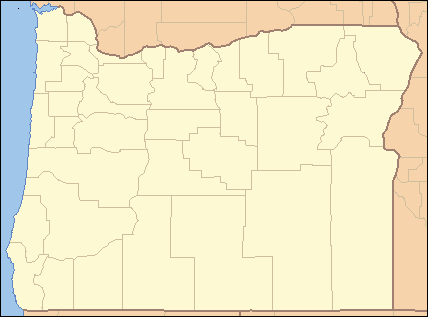 Location of the mouth of Whitewater River in Oregon | |
The Whitewater River is a tributary of the Metolius River in the U.S. state of Oregon. It flows generally east from Whitewater Glacier on Mount Jefferson, west-southwest of Warm Springs in Jefferson County.[4] The river descends from 7,847 feet (2,392 m) at the source to 2,218 feet (676 m) at the mouth.[1][2] The stream lies entirely within the Warm Springs Indian Reservation.[4]
See also
References
- 1 2 Source elevation derived from Google Earth search using GNIS source coordinates.
- 1 2 3 4 "Whitewater River". Geographic Names Information System (GNIS). United States Geological Survey. November 28, 1980. Retrieved February 7, 2013.
- ↑ "Water-Data Report 2009: 14090400 Whitewater River Near Camp Sherman, OR" (PDF). United States Geological Survey. Retrieved February 7, 2013.
- 1 2 Oregon Atlas & Gazetteer (7th ed.). Yarmouth, Maine: DeLorme. 2008. pp. 36–37. ISBN 978-0-89933-347-2.
This article is issued from Wikipedia - version of the 9/11/2016. The text is available under the Creative Commons Attribution/Share Alike but additional terms may apply for the media files.