Untertauern
| Untertauern | ||
|---|---|---|
 | ||
| ||
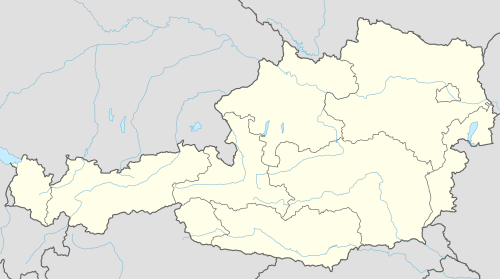 Untertauern Location within Austria | ||
| Coordinates: 47°18′10″N 13°30′20″E / 47.30278°N 13.50556°ECoordinates: 47°18′10″N 13°30′20″E / 47.30278°N 13.50556°E | ||
| Country | Austria | |
| State | Salzburg | |
| District | St. Johann im Pongau | |
| Government | ||
| • Mayor | Johann Habersatter (SPÖ) | |
| Area | ||
| • Total | 71.7 km2 (27.7 sq mi) | |
| Elevation | 1,010 m (3,310 ft) | |
| Population (1 January 2016)[1] | ||
| • Total | 461 | |
| • Density | 6.4/km2 (17/sq mi) | |
| Time zone | CET (UTC+1) | |
| • Summer (DST) | CEST (UTC+2) | |
| Postal code | 5561 | |
| Area code | 06455 | |
| Vehicle registration | JO | |
| Website | www.untertauern.at | |

Untertauern is a municipality in the St. Johann im Pongau district in the Austrian state of Salzburg.
Geography
Untertauern lies in the Pongau on the north side of the Radstadt Tauern pass in the valley of the Pongau Taurach.
References
Gallery
 Obertauern, view to the village
 between Obertauern and Untertauern, panorama
 Untertauern, church
This article is issued from Wikipedia - version of the 12/10/2013. The text is available under the Creative Commons Attribution/Share Alike but additional terms may apply for the media files.