Spring River (Deschutes River)
| Spring River | |
| Country | United States |
|---|---|
| State | Oregon |
| County | Deschutes |
| Source | spring near Anns Butte |
| - location | west of Sunriver |
| - elevation | 4,247 ft (1,294 m) [1] |
| - coordinates | 43°51′55″N 121°29′01″W / 43.86528°N 121.48361°W [2] |
| Mouth | Deschutes River |
| - location | near Sunriver Airport |
| - elevation | 4,176 ft (1,273 m) [2] |
| - coordinates | 43°52′22″N 121°27′55″W / 43.87278°N 121.46528°WCoordinates: 43°52′22″N 121°27′55″W / 43.87278°N 121.46528°W [2] |
| Length | 1 mi (2 km) [3] |
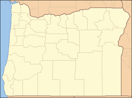 Location of the mouth of the Spring River in Oregon | |
The Spring River is a tributary, only about 1 mile (1.6 km) long, of the Deschutes River in Deschutes County in the U.S. state of Oregon. Arising near Anns Butte, it flows generally northeast into the Deschutes at Sunriver, about 190 miles (310 km) from the larger stream's confluence with the Columbia River.[4] The Spring River has no named tributaries.[4]
The creek has few resident fish but provides spawning and rearing habitat for the rainbow and brown trout and other species from the Deschutes. The lower river is accessible through United States Forest Service land.[3]
See also
References
- ↑ Source elevation derived from Google Earth search using GNIS source coordinates.
- 1 2 3 "Spring River". Geographic Names Information System (GNIS). United States Geological Survey. November 28, 1980. Retrieved January 1, 2016.
- 1 2 "Deschutes River: Wickiup Reservoir to Bend". United States Forest Service. Retrieved January 2, 2016.
- 1 2 "United States Topographic Map". United States Geological Survey. Retrieved January 2, 2016 – via Acme Mapper. The map includes mile markers along the Deschutes.
External links
This article is issued from Wikipedia - version of the 9/11/2016. The text is available under the Creative Commons Attribution/Share Alike but additional terms may apply for the media files.