Silver Creek (Marion County, Oregon)
| Silver Creek | |
 Creek at Silver Falls State Park | |
| Country | United States |
|---|---|
| State | Oregon |
| County | Marion |
| Source | |
| - location | Cascade Range foothills, Marion County, Oregon |
| - elevation | 963 ft (294 m) [1] |
| - coordinates | 44°53′20″N 122°39′47″W / 44.88889°N 122.66306°W [2] |
| Mouth | Pudding River |
| - location | Silverton, Marion County, Oregon |
| - elevation | 157 ft (48 m) [2] |
| - coordinates | 45°00′01″N 122°50′27″W / 45.00028°N 122.84083°WCoordinates: 45°00′01″N 122°50′27″W / 45.00028°N 122.84083°W [2] |
| Length | 16 mi (26 km) [3] |
| Basin | 54.4 sq mi (141 km2) [4] |
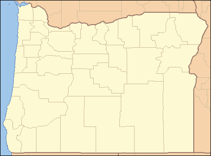 Location of Silver Creek in Marion County, Oregon | |
Silver Creek is a stream, about 16 miles (26 km) long, in Marion County, Oregon, United States. It is a tributary of the Pudding River and originates in Silver Falls State Park in the Cascade foothills above the cities Silverton and Stayton.[3]
Course
Silver Creek originates in the northwestern part of Silver Falls State Park at the confluence of its North and South Forks. From there the stream flows 9.5 miles (15.3 km) north-northwest through Silver Creek Canyon and into the Silverton Reservoir. It continues out of the canyon from that point for 2.5 miles (4.0 km) and through the city of Silverton, running parallel to Oregon State Highway 214 until it veers due west at North Water Street in Silverton. It runs for another 3.2 miles (5.1 km) to its confluence at the Pudding River to the west of Silverton.
See also
- List of rivers of Oregon
- Oregon Garden, which was designed, in part, to divert Silverton's sewage effluent from the creek.
References
- ↑ Source elevation derived from Google Earth search using GNIS source coordinates.
- 1 2 3 "Silver Creek". Geographic Names Information System. United States Geological Survey. November 28, 1980. Retrieved February 11, 2013.
- 1 2 United States Geological Survey. "United States Topographic Map". TopoQuest. Retrieved February 11, 2013. River miles are marked and numbered on the relevant map quadrangles.
- ↑ "Pudding Watershed Assessment: Introduction and Watershed Overview" (PDF). Pudding River Watershed Council. p. 14. Retrieved February 11, 2013.