Green River (Oregon)
| Green River | |
| Country | United States |
|---|---|
| State | Oregon |
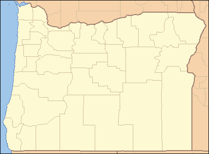
| County | Lane |
| Source | Central Oregon Coast Range |
| - location | Siuslaw National Forest |
| - elevation | 1,162 ft (354 m) [1] |
| - coordinates | 44°13′51″N 123°53′12″W / 44.23083°N 123.88667°W [2] |
| Mouth | Five Rivers |
| - elevation | 256 ft (78 m) [2] |
| - coordinates | 44°16′30″N 123°47′45″W / 44.27500°N 123.79583°WCoordinates: 44°16′30″N 123°47′45″W / 44.27500°N 123.79583°W [2] |
 Location of the mouth of the Green River in Oregon | |
The Green River is a tributary of Five Rivers in the U.S. state of Oregon.[2] It arises in the Siuslaw National Forest of the Central Oregon Coast Range and flows generally northeast to meet Five Rivers upstream of the rural community of Fisher. The confluence is about 15 miles (24 km) from the larger stream's confluence with the Alsea River.[3] The Green River's named tributaries from source to mouth are the East Fork Green River and Ryan Creek.[3]
See also
References
- ↑ Source elevation derived from Google Earth search using GNIS source coordinates.
- 1 2 3 4 "Green River". Geographic Names Information System (GNIS). United States Geological Survey. November 28, 1980. Retrieved February 13, 2016.
- 1 2 "United States Topographic Map". United States Geological Survey. Retrieved February 13, 2016 – via Acme Mapper. The map includes mile markers along Five Rivers.
This article is issued from Wikipedia - version of the 9/11/2016. The text is available under the Creative Commons Attribution/Share Alike but additional terms may apply for the media files.