Cow Creek (Jordan Creek)
| Cow Creek | |
| Country | United States |
|---|---|
| State | Idaho |
| County | Owyhee County, Idaho and Malheur County, Oregon |
| Source | |
| - location | near De Lamar, Owyhee County, Idaho |
| - elevation | 7,048 ft (2,148 m) [1] |
| - coordinates | 43°04′23″N 116°50′23″W / 43.07306°N 116.83972°W [2] |
| Mouth | Jordan Creek |
| - location | Danner, Malheur County, Oregon |
| - elevation | 4,216 ft (1,285 m) [2] |
| - coordinates | 42°56′51″N 117°20′38″W / 42.94750°N 117.34389°WCoordinates: 42°56′51″N 117°20′38″W / 42.94750°N 117.34389°W [2] |
| Length | 51 mi (82 km) [3] |
| Basin | 330 sq mi (855 km2) [4] |
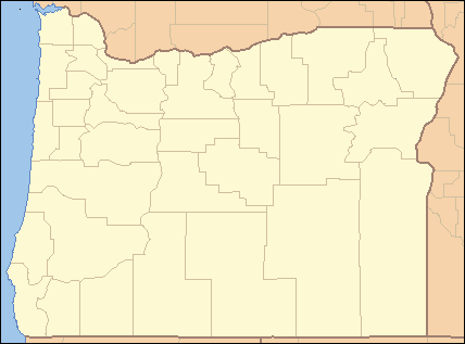 Location of the mouth of Cow Creek in Oregon
| |
Cow Creek is a 51-mile (82 km) tributary of Jordan Creek in the U.S. state of Oregon.[3] The source of Cow Creek is at an elevation of 7,048 feet (2,148 m) near De Lamar, Idaho,[1] while the mouth is at an elevation of 4,216 feet (1,285 m) at Danner.[2] Cow Creek has a 330-square-mile (850 km2) watershed.[4]
See also
- List of rivers of Oregon
- List of longest streams of Oregon
- List of rivers of Idaho
- List of longest streams of Idaho
References
- 1 2 Source elevation derived from Google Earth search using GNIS source coordinates.
- 1 2 3 4 "Cow Creek". Geographic Names Information System. United States Geological Survey (USGS). November 28, 1980. Retrieved September 3, 2010.
- 1 2 "National Hydrography Dataset". United States Geological Survey. Retrieved September 3, 2010.
- 1 2 "USGS 13180000 Cow Creek At Danner,Oreg.". United States Geological Survey. Retrieved September 3, 2010.
This article is issued from Wikipedia - version of the 9/11/2016. The text is available under the Creative Commons Attribution/Share Alike but additional terms may apply for the media files.