Zlatar (mountain)
| Zlatar | |
|---|---|
| Златар | |
 | |
| Highest point | |
| Elevation | 1,627 m (5,338 ft) [1] |
| Coordinates | 43°24′32″N 19°47′33″E / 43.40889°N 19.79250°ECoordinates: 43°24′32″N 19°47′33″E / 43.40889°N 19.79250°E |
| Geography | |
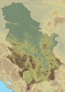 Zlatar Location in Serbia | |
| Location | Southwestern Serbia |
| Parent range | Dinaric Alps |
Zlatar (Serbian Cyrillic: Златар, pronounced [zlǎtaːr]) is a mountain range in southwestern Serbia, lying between towns of Prijepolje and Nova Varoš. Its highest peak is Golo brdo, 1,627 meters tall. It belongs to Stari Vlah group of Dinaric Alps. Zlatar is bounded by rivers Uvac, Lim, Mileševka and Bistrica, and has a total of four artificial lakes – Zlatar Lake, Radoinjsko Lake, Uvac Lake and Potpeć.[2] Mountainous climate with significant mediterranean influence, dense pine forests, and a high number of sunny days, is suitable for medicinal purposes and altitude training. At the elevation of 1,237 meters, there is a Special Rehabilitation Hospital "Zlatar" with 330 beds.[3]
References
- ↑ Jovan Đokić. "Katalog planina Srbije". PSD Kopaonik Beograd. Archived from the original on May 18, 2011.
- ↑ "Magija lepote Zlatara". Politika. 2007-05-24.
- ↑ "Haj'mo u planine!". Politika. 2009-05-24.
External links
- Tourist and sports centre Zlatar
- Special Rehabilitation Hospital "ZLATAR"
- Zlatarinfo - Lates News from Zlatar and Nova Varos
- Ski resort Zlatar
| Wikimedia Commons has media related to Zlatar (mountain). |
This article is issued from Wikipedia - version of the 10/15/2016. The text is available under the Creative Commons Attribution/Share Alike but additional terms may apply for the media files.