Zemio Airport
| Zemio Airport | |||||||||||
|---|---|---|---|---|---|---|---|---|---|---|---|
| Summary | |||||||||||
| Airport type | Public | ||||||||||
| Owner | Government | ||||||||||
| Serves | Zemio, Haut-Mbomou, CAR | ||||||||||
| Elevation AMSL | 608 m / 1,995 ft | ||||||||||
| Coordinates | 05°00′06″N 025°06′08″E / 5.00167°N 25.10222°ECoordinates: 05°00′06″N 025°06′08″E / 5.00167°N 25.10222°E | ||||||||||
| Map | |||||||||||
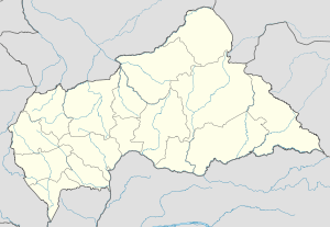 IMO Location of the airport in Central African Republic | |||||||||||
| Runways | |||||||||||
| |||||||||||
Zemio Airport (IATA: IMO, ICAO: FEFZ) is an airport serving the village of Zemio, in the Haut-Mbomou prefecture of Central African Republic. The airport is located 5 kilometres (3.1 mi) southwest of the village.
References
- ↑ Airport information for IMO at Great Circle Mapper. Source: DAFIF (effective October 2006).
- ↑ Airport information for Zemio Airport at Search (for) Travel website.
This article is issued from Wikipedia - version of the 12/4/2016. The text is available under the Creative Commons Attribution/Share Alike but additional terms may apply for the media files.