Yrgyz
| Yrgyz | |
|---|---|
| Town | |
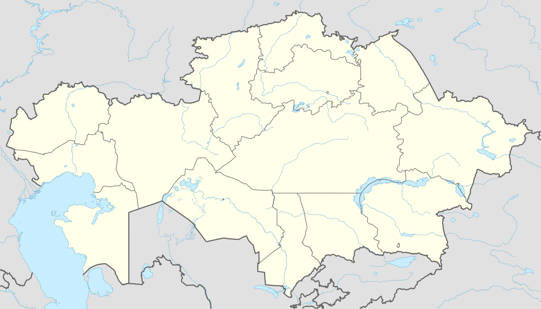 Yrgyz Location in Kazakhstan | |
| Coordinates: 48°37′N 61°16′E / 48.617°N 61.267°ECoordinates: 48°37′N 61°16′E / 48.617°N 61.267°E | |
| Country | Kazakhstan |
| Region | Aktobe Region |
| Time zone | Central Asia Time (UTC+5) |
Yrgyz (Kazakh: Ырғыз) is a selo in Aktobe Region, Kazakhstan. It is located by the Irgiz River. Yrgyz serves as the administrative center of Yrgyz District.[1] Population: 5,410 (2009 Census results);[2]5,329 (1999 Census results).[2]
Climate
| Climate data for Irgiz | |||||||||||||
|---|---|---|---|---|---|---|---|---|---|---|---|---|---|
| Month | Jan | Feb | Mar | Apr | May | Jun | Jul | Aug | Sep | Oct | Nov | Dec | Year |
| Average high °C (°F) | −10 (14) |
−9 (15) |
−2 (28) |
14 (57) |
24 (75) |
29 (84) |
31 (87) |
29 (84) |
23 (73) |
11 (51) |
1 (33) |
−6 (21) |
11 (51) |
| Average low °C (°F) | −20 (−4) |
−19 (−2) |
−11 (12) |
2 (35) |
9 (48) |
15 (59) |
17 (62) |
15 (59) |
8 (46) |
0 (32) |
−7 (19) |
−14 (6) |
0 (32) |
| Average precipitation mm (inches) | 10 (0.4) |
10 (0.4) |
13 (0.5) |
18 (0.7) |
18 (0.7) |
20 (0.8) |
20 (0.8) |
13 (0.5) |
13 (0.5) |
15 (0.6) |
15 (0.6) |
15 (0.6) |
180 (7.1) |
| Source: Weatherbase [3] | |||||||||||||
References
- ↑ National Geospatial-Intelligence Agency. GeoNames database entry. (search) Accessed 12 May 2011.
- 1 2 "Население Республики Казахстан" (in Russian). Департамент социальной и демографической статистики. Retrieved 8 December 2013.
- ↑ "Weatherbase: Historical Weather for Irgiz, Kazakhstan". Weatherbase. 2011. Retrieved on November 24, 2011.
Capital: Aktobe | ||
| Districts |  | |
| Major cities | ||
| Towns and villages |
| |
This article is issued from Wikipedia - version of the 9/19/2016. The text is available under the Creative Commons Attribution/Share Alike but additional terms may apply for the media files.