Yele Dam
For the dam in the U.S. state of Washington, see Yale Dam.
| Yele Dam | |
|---|---|
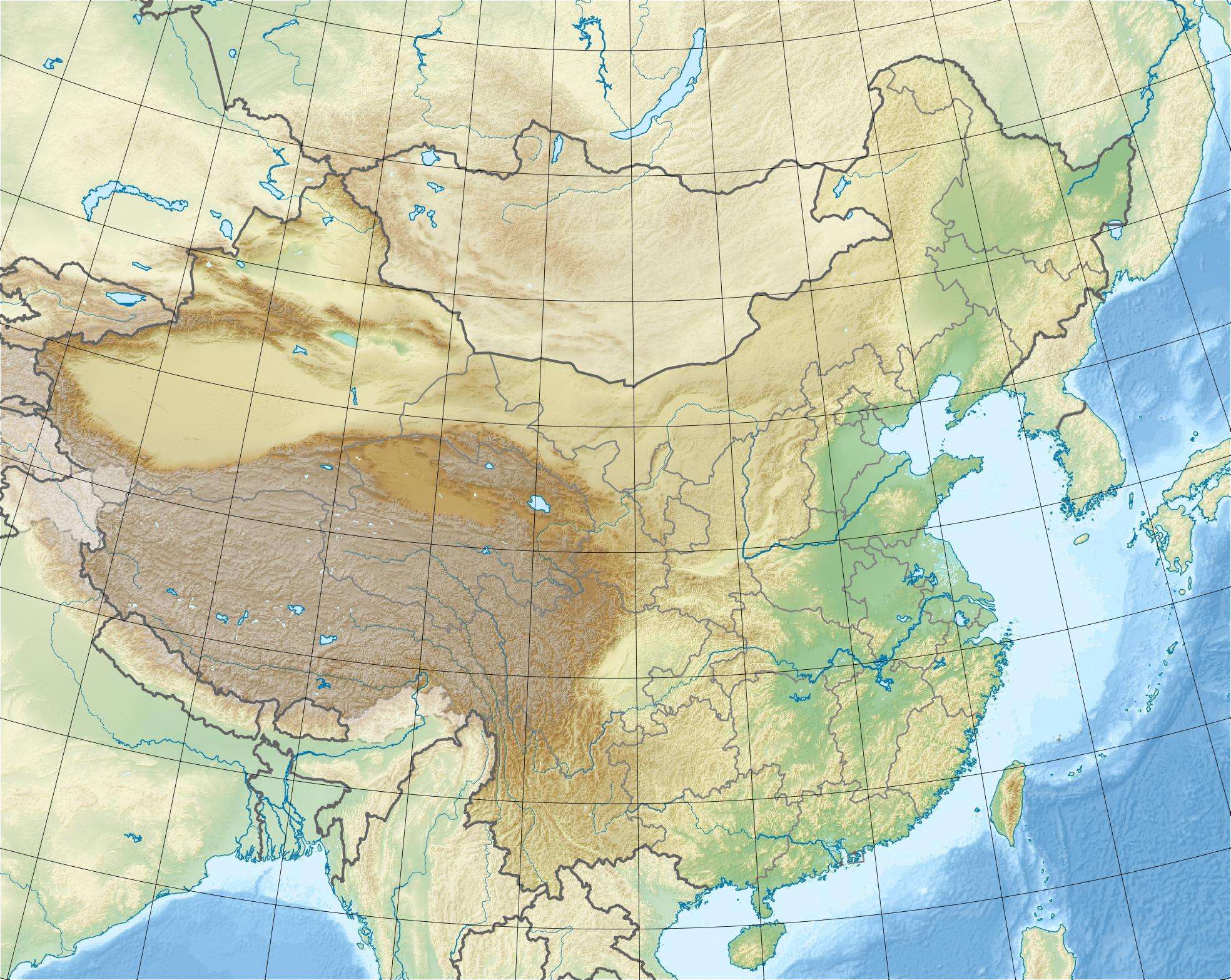 Location of Yele Dam in China | |
| Country | China |
| Location | Mianning County and Shimian County, Sichuan Province |
| Coordinates | 28°55′11″N 102°13′11″E / 28.91972°N 102.21972°ECoordinates: 28°55′11″N 102°13′11″E / 28.91972°N 102.21972°E |
| Status | Operational |
| Construction began | 2000 |
| Opening date | 2006 |
| Construction cost | $385 million USD 2.537 billion RMB |
| Dam and spillways | |
| Type of dam | Embankment, rock-fill |
| Impounds | Nanya River |
| Height | 124.5 metres (408 ft) |
| Length | 411 metres (1,348 ft) |
| Width (crest) | 14 metres (46 ft) |
| Dam volume | 6,200,000 cubic metres (218,950,934 cu ft) |
| Reservoir | |
| Creates | Yele Reservoir |
| Total capacity | 298,000,000 cubic metres (241,593 acre·ft) |
| Catchment area | 323 square kilometres (125 sq mi) |
| Power station | |
| Commission date | 2005-2006 |
| Hydraulic head | 644.8 metres (2,115 ft) Max. |
| Turbines | 2 x 120 MW Pelton turbines |
| Installed capacity | 240 MW |
| Annual generation | 647 kWh |
The Yele Dam is an embankment dam on the Nanya River along the border of Mianning County and Shimian County, Sichuan Province, China. It is 124.5 metres (408 ft) high and 411 metres (1,348 ft) long. Because the dam lies within a Level VIII earthquake intensity zone, its core is composed of asphalt concrete. Construction on the dam began in 2000, the reservoir began impounding on January 1, 2005 and the entire project was complete in August 2006. The purpose of the dam is to produce hydroelectricity and it supports a 240 MW power station. Water from the dam's reservoir is diverted into a 7.2 kilometres (4 mi) long headrace tunnel before reaching the power station.[1]
See also
References
- ↑ "Yele Asphalt Concrete Core Rockfill Dam" (PDF). Chinese National Committee on Large Dams. Retrieved 3 January 2011.
This article is issued from Wikipedia - version of the 9/28/2015. The text is available under the Creative Commons Attribution/Share Alike but additional terms may apply for the media files.