Yarim
| Yarim | |
|---|---|
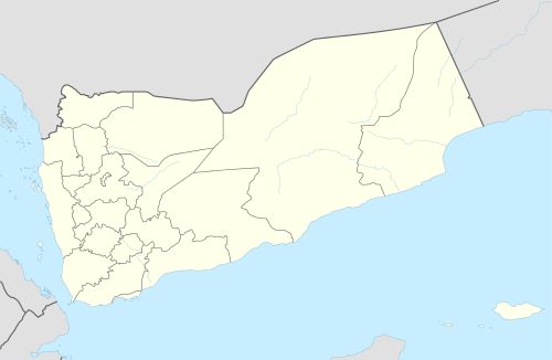 Yarim Location in Yemen | |
| Coordinates: 14°17′50″N 44°22′49″E / 14.29722°N 44.38028°ECoordinates: 14°17′50″N 44°22′49″E / 14.29722°N 44.38028°E | |
| Country |
|
| Governorate | Ibb |
| District | Yarim District |
| Elevation | 10,000[1] ft (3,000 m) |
| Population (2004) | |
| • Total | 46,964 |
| Time zone | Yemen Standard Time (UTC+3) |
Yarim is a town in the Ibb Governorate of Yemen.
Geography
It lies in the heart of the Yemen Highlands, on an upland plateau dominated by the massif of nearby Mount Sumarah, which rises to about 10,000 feet above sea level.
History
In antiquity, the Yarim area was the core of the Himyarite Kingdom, which ruled over much of Southern Arabia from about 115 BC to about AD 575. The Himyarite capital of Zafar was located about 9 miles south of Yarim.
Yarim was captured by the Houthis in October 2014 as part of the Houthi insurgency in Yemen.[2] It was subsequently targeted by Operation Decisive Storm.[3]
Etymology
The name refers to the highlands on which it sits, and originates from Ar'ama (verb) which derived into Aram, A'rm, Yareem, and Maryama. It appears as villages' names in the Western mountain regions of Yemen, Asir and Syria.[4]
References
- ↑ Yarim entry in the Britannica Britannica entry on Yarim
- ↑ "Yemen's Houthi Rebels Storm Governor's House". Al-Jazeera. Qatar. 19 October 2014. Retrieved 11 September 2015.
- ↑ Al-Karimi, Khalid (1 April 2015). "Decisive Storm arrives in Ibb". Yemen Times. Retrieved 11 September 2015.
- ↑ Al-Suliehi, Merwan Tadharees Al Yaman