Xinluo District
"Xinluo" redirects here. For the ancient northeast Asian kingdom, see Silla.
| Xinluo 新罗区 | |
|---|---|
| District | |
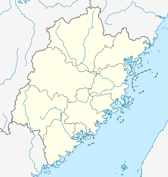 Xinluo Location in Fujian | |
| Coordinates: 25°13′13″N 117°06′35″E / 25.22028°N 117.10972°ECoordinates: 25°13′13″N 117°06′35″E / 25.22028°N 117.10972°E | |
| Country | People's Republic of China |
| Province | Fujian |
| Prefecture-level city | Longyan |
| Area | |
| • District | 2,677 km2 (1,034 sq mi) |
| • Urban | 185 km2 (71 sq mi) |
| Population | |
| • District | 500,000 |
| • Density | 190/km2 (480/sq mi) |
| • Urban | 300,000 |
| • Urban density | 1,600/km2 (4,200/sq mi) |
| Time zone | China Standard (UTC+8) |
| Postal code | 364000 |
| Area code(s) | 597 |
| Website | http://www.fjxinluo.gov.cn/ |
Xinluo District (simplified Chinese: 新罗区; traditional Chinese: 新羅區; pinyin: Xīnluó Qū; Hakka: Sîn-lò-khî) is a district of Longyan, Fujian province, People's Republic of China, with a population of approximately 50,000.[1]
Longyan Min is spoken widely, but Mandarin is the primary language for education and business.
References
- ↑ "Information of Xinluo District" (in Chinese). Official website of Xinluo District Government. Retrieved 2011-01-21.
External links
This article is issued from Wikipedia - version of the 9/11/2016. The text is available under the Creative Commons Attribution/Share Alike but additional terms may apply for the media files.