Wylde Green
Coordinates: 52°32′00″N 1°49′00″W / 52.533333°N 1.816667°W
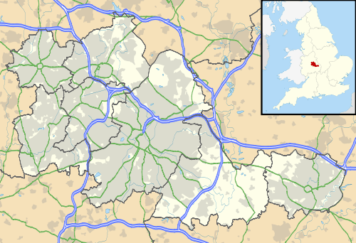
Wylde Green is a residential area within the town of Sutton Coldfield in Birmingham, England in the West Midlands. It was in the county of Warwickshire. The area is in the Sutton Vesey ward.
History
In the 16th century, this area of barren common land was known as the Wyld and was sparsely populated. After the Enclosure Act of 1825, there was some development and in 1840 the growth of the population to about 60 led to the building of the first school.[1] In the 1850s substantial Victorian mansions began to appear along the Birmingham Road. Highbridge Road and Station Road were laid out in 1858 in anticipation of the coming of the railway. The railway with its station at Wylde Green railway station opened in 1862 (now on the Birmingham to Lichfield suburban line). Urbanisation of the area proceeded rapidly thereafter. In 1923, the parish of Wylde Green was created out of that of Boldmere.[2]
In 1974 Sutton Coldfield, of which Wylde Green is a part, became part of the City of Birmingham.
Until recently there was a 1950s disused nuclear bunker that would have played a key role in the control of the Birmingham area in the event of a nuclear attack.[3]
Geography
To the north is Beeches Walk (an informal boundary between it and the Maney area that heralds the start of the town centre of Sutton Coldfield). To the south is the Chester Road crossroads, beyond which is Erdington. To the east across New Hall Valley is Walmley, and on the west is Boldmere.
Housing and facilities
Much of the housing dates from the 1930s, late 1940s and 1950s. Much of the area is a middle-class suburb, with pockets of affluence. There is one tower block located within Wylde Green, Heron Court, which is behind The Lanes Shopping Centre, which also has flats above retail floors.
Wylde Green Road, the road to Walmley, was noted for having a ford across Plants Brook until around 1967. Within the valley are New Hall Valley Country Park and Plantsbrook Nature Reserve. Also on the Wylde Green Road is a cottage which used to look over the ford. It was called the Fordkeeper's Cottage and was built by Bishop Vesey.[4]
Wylde Green is served by Wylde Green library, a one-storey building that, until recently, was run by volunteers. It is located to the rear of The Lanes Shopping Centre which, along with the rest of the street, hosts the main shopping area for Wylde Green. Wylde Green Library has been cut, and Birmingham City Council blames lack of funding from the Central government.[5] Opposite the library is Emmanuel Parish Church, a Grade II* listed building, designed by William Bidlake. The organ was produced in 1932 by Willis Organs.[6] The church is home to one of the few remaining boys choirs and also has a well-established girls choir. Adjacent to the library is Wylde Green Primary School, opened in 1840.[1] Another church in Wylde Green is the Wylde Green United Reformed Church, established in 1897.[7]
See also
| Wikimedia Commons has media related to Wylde Green. |
References
- 1 2 Wylde Green Primary School
- ↑ The borough of Sutton Coldfield - A History of the County of Warwick: Volume 4: Hemlingford Hundred (1947), pp. 230-245. Date accessed: 25 January 2008.
- ↑ Wylde Green - 4 Group, 74 Brigade AAOR serving the Birmingham GDA
- ↑ Houses of the valley, houses of interest at Wylde Green crossing of Plants Brook, A.F. Fentiman
- ↑ Four Birmingham libraries facing closure because of budget cuts
- ↑ Willis Organs: 1932 Willis III Organ for Emmanuel Parish Church, Wylde Green, Sutton Coldfield
- ↑ Wylde Green URC: 100th Anniversary booklet