Wuluwati Dam
| Wuluwati Dam | |
|---|---|
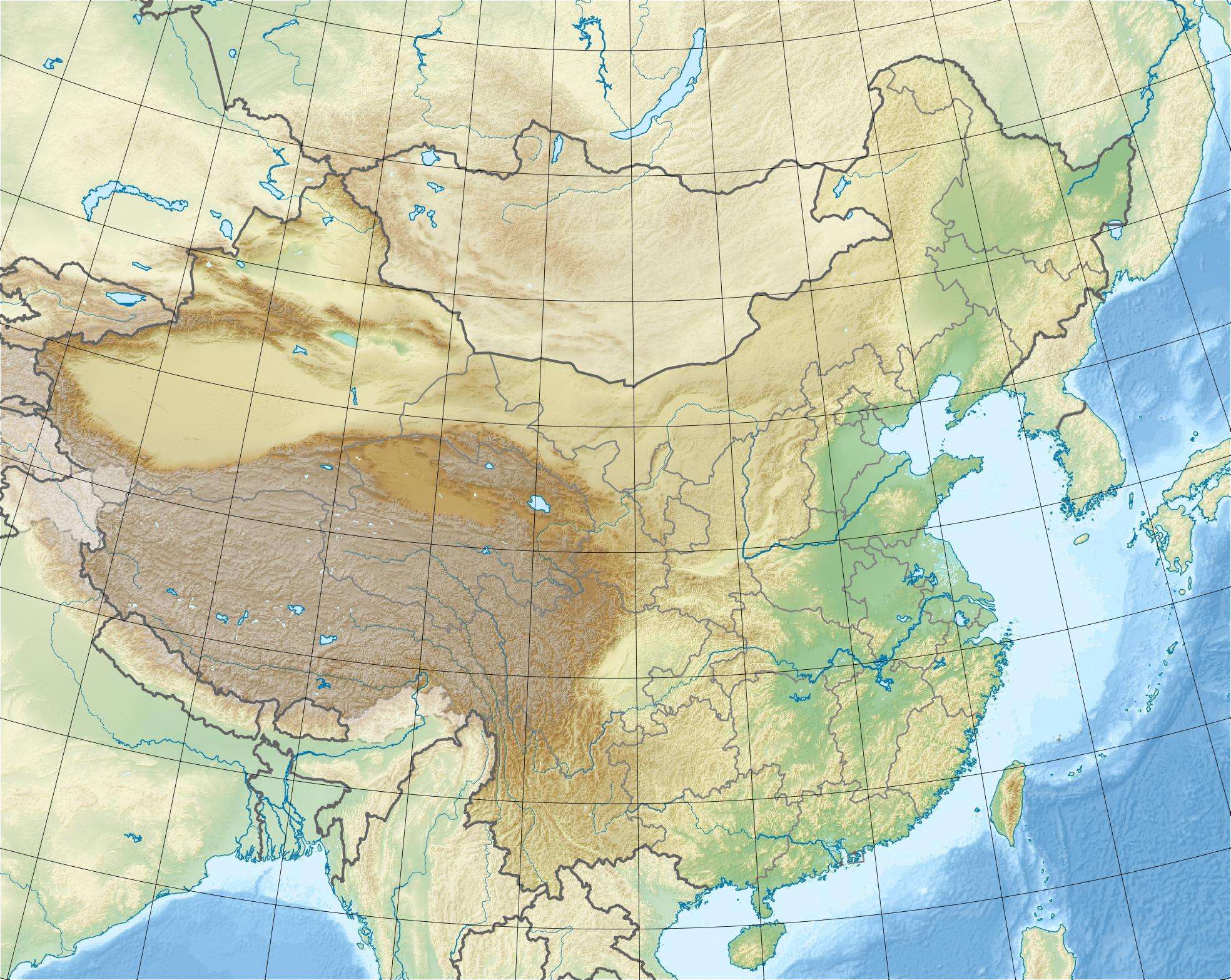 Location of Wuluwati Dam in China | |
| Country | China |
| Location | Hotan County |
| Coordinates | 36°49′28″N 79°27′04″E / 36.82444°N 79.45111°ECoordinates: 36°49′28″N 79°27′04″E / 36.82444°N 79.45111°E |
| Status | Operational |
| Construction began | 1993 |
| Opening date | 2001 |
| Dam and spillways | |
| Type of dam | Embankment, concrete-face rock-fill |
| Impounds | Kalakashi River |
| Height | 138 m (453 ft) |
| Length | 365 m (1,198 ft) |
| Elevation at crest | 1,965 m (6,447 ft) |
| Dam volume | 6,770,000 m3 (8,854,826 cu yd) |
| Spillway type | Controlled chute |
| Reservoir | |
| Total capacity | 347,000,000 m3 (281,317 acre·ft) |
| Surface area | 13 km2 (5 sq mi) |
| Max. length | 23.5 km (15 mi) |
| Max. width | 700 m (2,297 ft)[1] |
| Normal elevation | 1,962 m (6,437 ft) |
| Power station | |
| Commission date | 2000-2001 |
| Hydraulic head | 106 m (348 ft) |
| Turbines | 4 x 15 MW Francis-type[2] |
| Installed capacity | 60 MW |
| Annual generation | 189 GWh |
The Wuluwati Dam is a concrete-face rock-fill dam on the Kalakashi River in Hotan County, Xinjiang, China. The dam serves to provide water supply, hydroelectric power generation and recreation. Construction began in 1993 with the river's diversion and in 1995, construction on the dam began. The first two generators were operational in December 2000 and the last two in January 2001. The 138 m (453 ft) tall dam withholds a reservoir of 347,000,000 m3 (281,317 acre·ft). The dam's power station contains four 15 MW Francis turbine-generators.[3]
See also
References
- ↑ "Wuluwait Hydropower Project". China Guide. Retrieved 5 September 2011.
- ↑ "PCC programmable governor in Wuluwati Hydropower Plant" (in Chinese). China Academic Journal. Retrieved 5 September 2011.
- ↑ "China's highest CFRDs". Chinese National Committee on Large Dams. Retrieved 5 September 2011.
This article is issued from Wikipedia - version of the 9/28/2015. The text is available under the Creative Commons Attribution/Share Alike but additional terms may apply for the media files.