Winterset Municipal Airport
| Winterset Municipal Airport | |||||||||||
|---|---|---|---|---|---|---|---|---|---|---|---|
| IATA: none – ICAO: none – FAA LID: 3Y3 | |||||||||||
| Summary | |||||||||||
| Airport type | Public | ||||||||||
| Owner | Winterset Airport Authority | ||||||||||
| Serves | Winterset, Iowa | ||||||||||
| Elevation AMSL | 1,110 ft / 338 m | ||||||||||
| Coordinates | 41°21′47″N 094°01′16″W / 41.36306°N 94.02111°WCoordinates: 41°21′47″N 094°01′16″W / 41.36306°N 94.02111°W | ||||||||||
| Map | |||||||||||
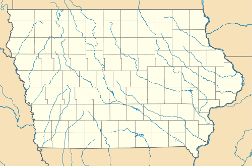 3Y3  3Y3 Location of airport in Iowa/United States | |||||||||||
| Runways | |||||||||||
| |||||||||||
| Statistics (2011) | |||||||||||
| |||||||||||
Winterset Municipal Airport (FAA LID: 3Y3) is a public use airport located two nautical miles (4 km) north of the central business district of Winterset, a city in Madison County, Iowa, United States.[1] Formerly known as Winterset-Madison County Airport,[2] it is owned by the Winterset Airport Authority.[1] This airport is included in the National Plan of Integrated Airport Systems for 2011–2015, which categorized it as a general aviation facility.[3]
Facilities and aircraft
Winterset Municipal Airport covers an area of 33 acres (13 ha) at an elevation of 1,110 feet (338 m) above mean sea level. It has one runway designated 14/32 with an asphalt surface measuring 3,000 by 50 feet (914 x 15 m).[1]
For the 12-month period ending September 8, 2011, the airport had 4,750 general aviation aircraft operations, an average of 13 per day. At that time there were 18 aircraft based at this airport: 89% single-engine and 11% multi-engine.[1]
References
- 1 2 3 4 5 FAA Airport Master Record for 3Y3 (Form 5010 PDF). Federal Aviation Administration. Effective November 15, 2012.
- ↑ "3Y3 – Winterset-Madison County Airport". FAA data republished by AirNav. Effective June 5, 2008. Archived from the original on July 8, 2008. Check date values in:
|date=(help) - ↑ "2011–2015 NPIAS Report, Appendix A" (PDF, 2.03 MB). National Plan of Integrated Airport Systems. Federal Aviation Administration. October 4, 2010. External link in
|work=(help)
External links
- Winterset Municipal (3Y3) at Iowa DOT Airport Directory
- Aerial image as of September 1995 from USGS The National Map
- FAA Terminal Procedures for 3Y3, effective December 8, 2016
- Resources for this airport:
- FAA airport information for 3Y3
- AirNav airport information for 3Y3
- FlightAware airport information and live flight tracker
- SkyVector aeronautical chart for 3Y3