Wind River (Yukon–Koyukuk Census Area, Alaska)
For other places with the same name, see Wind River.
| Wind River | |
| Country | United States |
|---|---|
| State | Alaska |
| Districts | North Slope Borough, Yukon–Koyukuk Census Area |
| Source | Philip Smith Mountains of the Brooks Range |
| - location | Windy Glacier, Arctic National Wildlife Refuge |
| - elevation | 4,798 ft (1,462 m) [1] |
| - coordinates | 68°34′31″N 147°24′17″W / 68.57528°N 147.40472°W [2] |
| Mouth | East Fork Chandalar River |
| - location | 39 miles (63 km) northwest of Christian [2]
|
| - elevation | 1,699 ft (518 m) [2] |
| - coordinates | 67°46′36″N 146°09′27″W / 67.77667°N 146.15750°WCoordinates: 67°46′36″N 146°09′27″W / 67.77667°N 146.15750°W [2] |
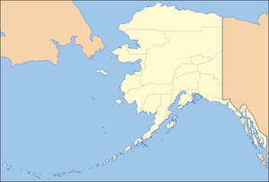 Location of the mouth of Wind River in Alaska
| |
The Wind River is a tributary of the East Fork Chandalar River in the U.S. state of Alaska. It arises in the Philip Smith Mountains of the Brooks Range and flows into the East Fork and eventually into the Yukon River.
Wind River is a National Wild and Scenic River. The main stem, headwaters, and an unnamed tributary—140 miles (230 km) of streams in total—were designated "wild" in 1980. All lie within the Arctic National Wildlife Refuge.[3]
See also
References
- ↑ Source elevation derived from Google Earth search using GNIS source coordinates.
- 1 2 3 4 "Wind River". Geographic Names Information System (GNIS). United States Geological Survey. March 31, 1981. Retrieved January 30, 2013.
- ↑ "Wind River, Alaska". National Wild and Scenic Rivers System. Retrieved January 30, 2013.
This article is issued from Wikipedia - version of the 9/10/2016. The text is available under the Creative Commons Attribution/Share Alike but additional terms may apply for the media files.