Willowild
| Willowild | |
|---|---|
 Willowild  Willowild  Willowild
| |
|
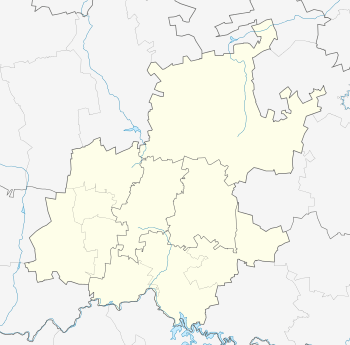
Location within Greater Johannesburg 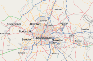 Willowild | |
| Coordinates: 26°05′42″S 28°01′16″E / 26.095°S 28.021°ECoordinates: 26°05′42″S 28°01′16″E / 26.095°S 28.021°E | |
| Country | South Africa |
| Province | Gauteng |
| Municipality | City of Johannesburg |
| Main Place | Sandton |
| Area[1] | |
| • Total | 0.34 km2 (0.13 sq mi) |
| Population (2011)[1] | |
| • Total | 348 |
| • Density | 1,000/km2 (2,700/sq mi) |
| Racial makeup (2011)[1] | |
| • Black African | 24.6% |
| • Coloured | 2.6% |
| • Indian/Asian | 3.4% |
| • White | 67.0% |
| • Other | 2.3% |
| First languages (2011)[1] | |
| • English | 67.7% |
| • Afrikaans | 9.2% |
| • Tswana | 6.3% |
| • Xhosa | 4.6% |
| • Other | 12.1% |
| Postal code (street) | 2196 |
Willowild is a suburb of Johannesburg, South Africa. It is located in Region B. Willowild was originally a farm and dates from at least the early 20th century. The farm was subdivided and plots sold off for residential development in 1970, leaving the original farmhouse on one of the plots.
References
- 1 2 3 4 "Sub Place Willowild". Census 2011.
This article is issued from Wikipedia - version of the 7/30/2016. The text is available under the Creative Commons Attribution/Share Alike but additional terms may apply for the media files.